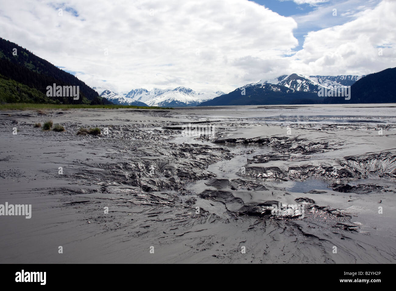
Mudflats in Cooks Inlet, Turnagain arm, Alaska
Image details
Contributor:
Arthur Gebuys / Alamy Stock PhotoImage ID:
B2YH2PFile size:
50 MB (2.2 MB Compressed download)Releases:
Model - no | Property - noDo I need a release?Dimensions:
5120 x 3413 px | 43.3 x 28.9 cm | 17.1 x 11.4 inches | 300dpiDate taken:
June 2008Location:
Flats, Turnagain Arm, Cook Inlet, Alaska, Northern America, United States of AmericaMore information:
Cook Inlet stretches 180 miles (290 km) from the Gulf of Alaska to Anchorage in south-central Alaska.[1] Cook Inlet branches into the Knik Arm and Turnagain Arm at its northern end, almost surrounding Anchorage. The watershed covers about 100, 000 km² of southern Alaska, east of the Aleutian Range and south of the Alaska Range, receiving water from its tributaries the Knik River, the Little Susitna River, and the Susitna and Matanuska rivers. The watershed includes the drainage areas of Mount McKinley. Within the watershed there are several national parks and the active volcano Mount Redoubt, along with three other historically active volcanoes. Cook Inlet provides navigable access to the port of Anchorage at the northern end, and to the smaller Homer port further south. Approximately 400, 000 people live within the Cook Inlet watershed. Before the growth of Anchorage, Knik was the destination for most marine traffic in upper Cook Inlet. Source: http://en.wikipedia.org/wiki/Cook_Inlet