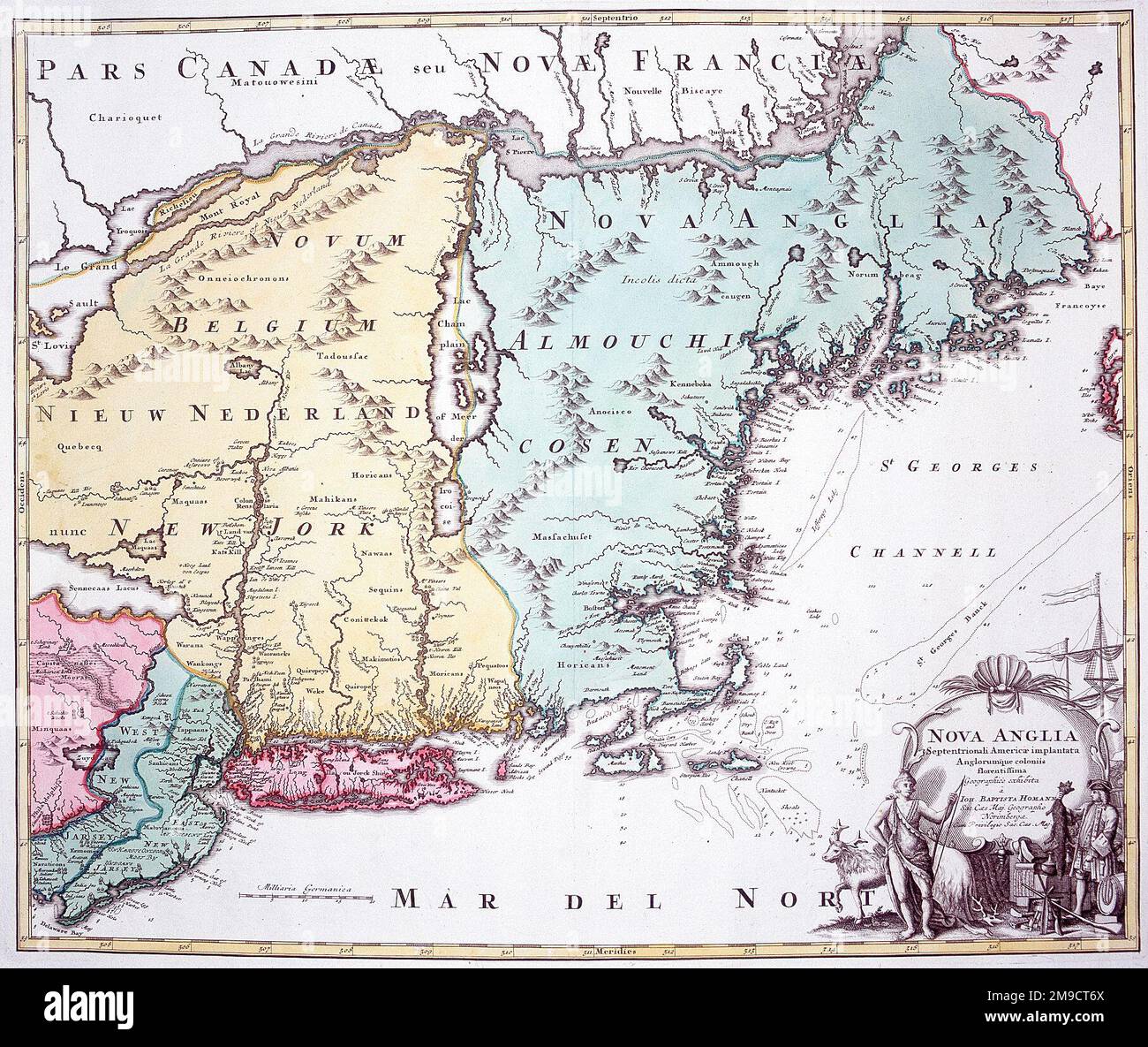
18th century Map of New England, New Jersey and New York, America

RMID:Image ID:2M9CT6X
Image details
Contributor:
Chronicle / Alamy Stock PhotoImage ID:
2M9CT6XFile size:
7.9 MB (898.6 KB Compressed download)Releases:
Model - no | Property - noDo I need a release?Dimensions:
1814 x 1529 px | 30.7 x 25.9 cm | 12.1 x 10.2 inches | 150dpiDate taken:
19 May 2013Photographer:
ChronicleMore information:
This image could have imperfections as it’s either historical or reportage.