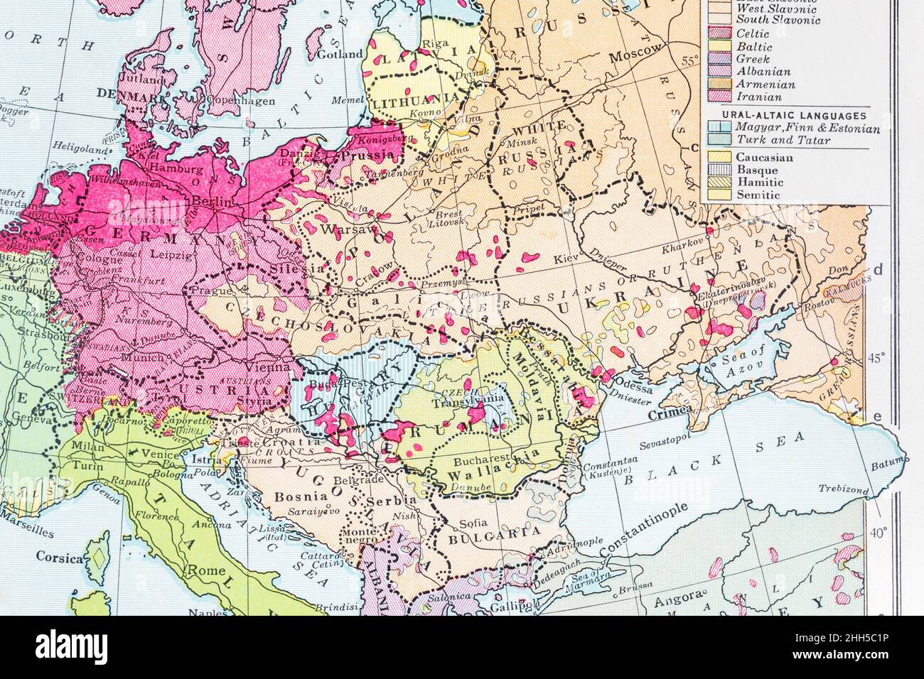
1936 Historical atlas map of Old Russia, early Soviet USSR. Closer on Ukraine & Black Sea area. For Russian history, events in Ukraine & Crimea
Image details
Contributor:
Marcus Harrison - geopolitics / Alamy Stock PhotoImage ID:
2HH5C1PFile size:
128.6 MB (7.6 MB Compressed download)Releases:
Model - no | Property - noDo I need a release?Dimensions:
8212 x 5475 px | 69.5 x 46.4 cm | 27.4 x 18.3 inches | 300dpiDate taken:
21 January 2022Location:
ukMore information:
1936 PHILIPS' INTERMEDIATE HISTORICAL ATLAS FOR SCHOOLS published by George Philip & Son, Fleet Street, London EC4. Possibly out of copyright but you should do due diligence for commercial / advertising use since it is possible that someone who worked on the maps lived to a ripe old age. I have cleaned up surface blemishes such as pencil marks and dirty patches on the map, and in one or two instances retouched minor printed imperfections, but otherwise the digital image is true to the appearance of the original in my possession. - By all accounts (at least according to the Bodleian Library) general map copyright in the UK exists for 70 years after the date of publication - and not 70 years after the author's / originator's death as with literary works. See https://www.bodleian.ox.ac.uk/maps/reproducing-maps