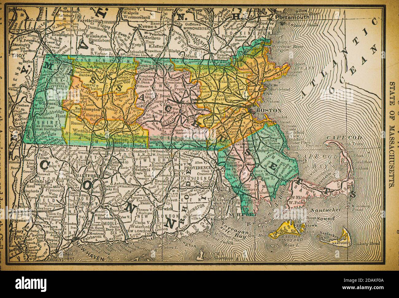
19th century map of State of Massachusetts. Published in New Dollar Atlas of the United States and Dominion of Canada. (Rand McNally & Co's, Chicago,
RFID:Image ID:2DAKF0A
Image details
Contributor:
Les Archives Digitales / Alamy Stock PhotoImage ID:
2DAKF0AFile size:
35.3 MB (3.2 MB Compressed download)Releases:
Model - no | Property - noDo I need a release?Dimensions:
4262 x 2897 px | 36.1 x 24.5 cm | 14.2 x 9.7 inches | 300dpiDate taken:
11 April 2014Location:
MassachusettsMore information:
19th century map of State of Massachusetts. Published in New Dollar Atlas of the United States and Dominion of Canada. (Rand McNally & Co's, Chicago, 1884).