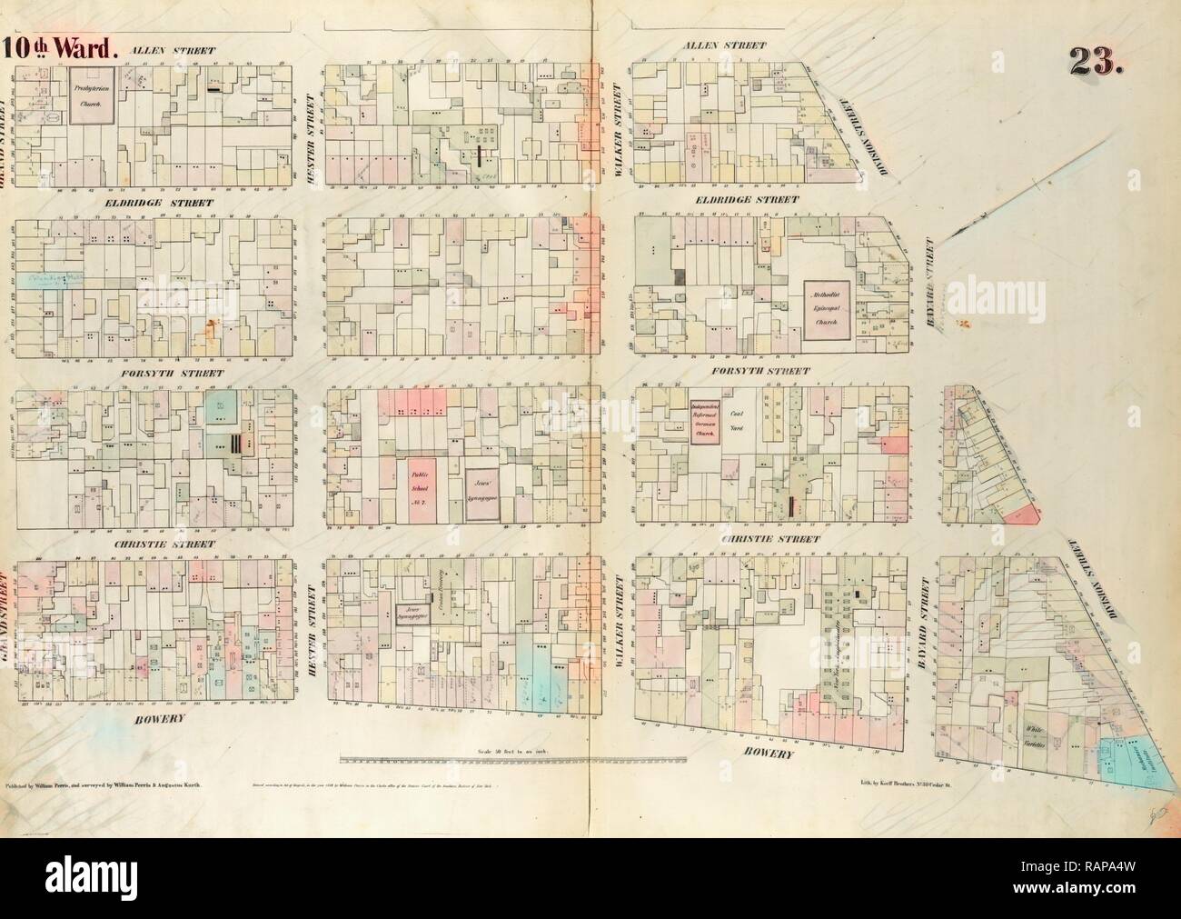
Plate 23: Map bounded by Bowery, Grand Street, Allen Street, Division Street. 1852, 1854, William Perris, New York, N reimagined
RFID:Image ID:RAPA4W
Image details
Contributor:
Penta Springs Limited / Alamy Stock PhotoImage ID:
RAPA4WFile size:
74 MB (3 MB Compressed download)Releases:
Model - no | Property - noDo I need a release?Dimensions:
6039 x 4282 px | 51.1 x 36.3 cm | 20.1 x 14.3 inches | 300dpiPhotographer:
Gibon ArtMore information:
This image could have imperfections as it’s either historical or reportage.
Plate 23: Map bounded by Bowery, Grand Street, Allen Street, Division Street. 1852, 1854, William Perris, New York, N.Y., USA. Reimagined by Gibon. Classic art with a modern twist