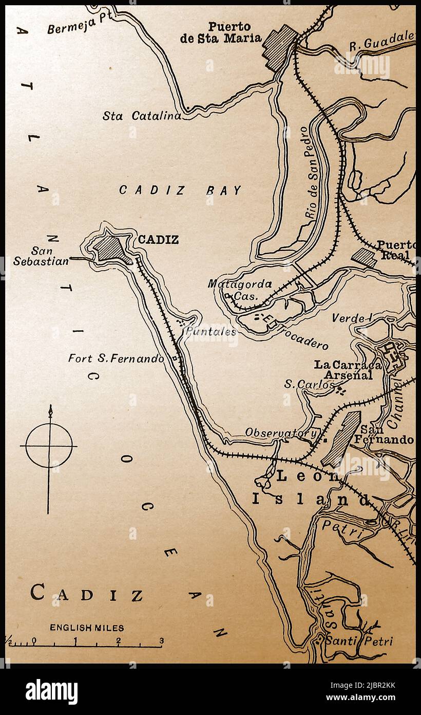
A late 19th century map of Cadiz & Cadiz Bay, Spain showing principal places, railway lines and distances in English miles
RMID:Image ID:2JBR2KK
Image details
Contributor:
Colin Waters / Alamy Stock PhotoImage ID:
2JBR2KKFile size:
63 MB (2.3 MB Compressed download)Releases:
Model - no | Property - noDo I need a release?Dimensions:
3727 x 5906 px | 31.6 x 50 cm | 12.4 x 19.7 inches | 300dpiDate taken:
7 May 2022More information:
This image could have imperfections as it’s either historical or reportage.