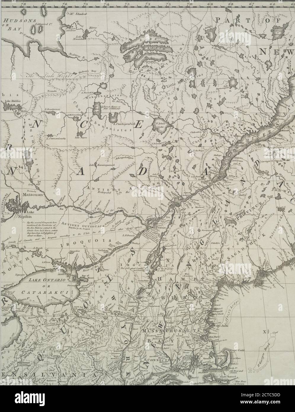
A map of the British and French dominions in North America : with the roads, distances, limits, and extent of the settlements, humbly inscribed to the Right Honourable the Earl of Halifax, and the other Right Honourable the Lords Commissioners for Trade & Plantations, cartographic, Maps, 1773, Mitchell, John, 1711-1768, Kitchin, Thomas, 1718-1784
RMID:Image ID:2CTC5DD
Image details
Contributor:
Penta Springs Limited / Alamy Stock PhotoImage ID:
2CTC5DDFile size:
44.1 MB (2.6 MB Compressed download)Releases:
Model - no | Property - noDo I need a release?Dimensions:
3436 x 4483 px | 29.1 x 38 cm | 11.5 x 14.9 inches | 300dpiPhotographer:
ArtokoloroMore information:
This image could have imperfections as it’s either historical or reportage.