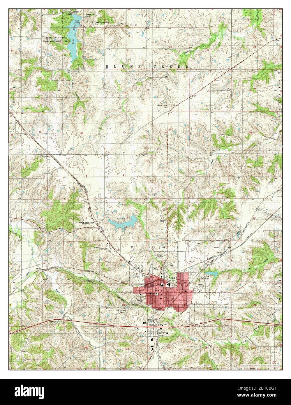
Albia, Iowa, map 1982, 1:24000, United States of America by Timeless Maps, data U.S. Geological Survey
RMID:Image ID:2EH0BGT
Image details
Contributor:
Penta Springs Limited / Alamy Stock PhotoImage ID:
2EH0BGTFile size:
79.2 MB (6.1 MB Compressed download)Releases:
Model - no | Property - noDo I need a release?Dimensions:
4614 x 6000 px | 39.1 x 50.8 cm | 15.4 x 20 inches | 300dpiPhotographer:
ArtokoloroMore information:
This image could have imperfections as it’s either historical or reportage.