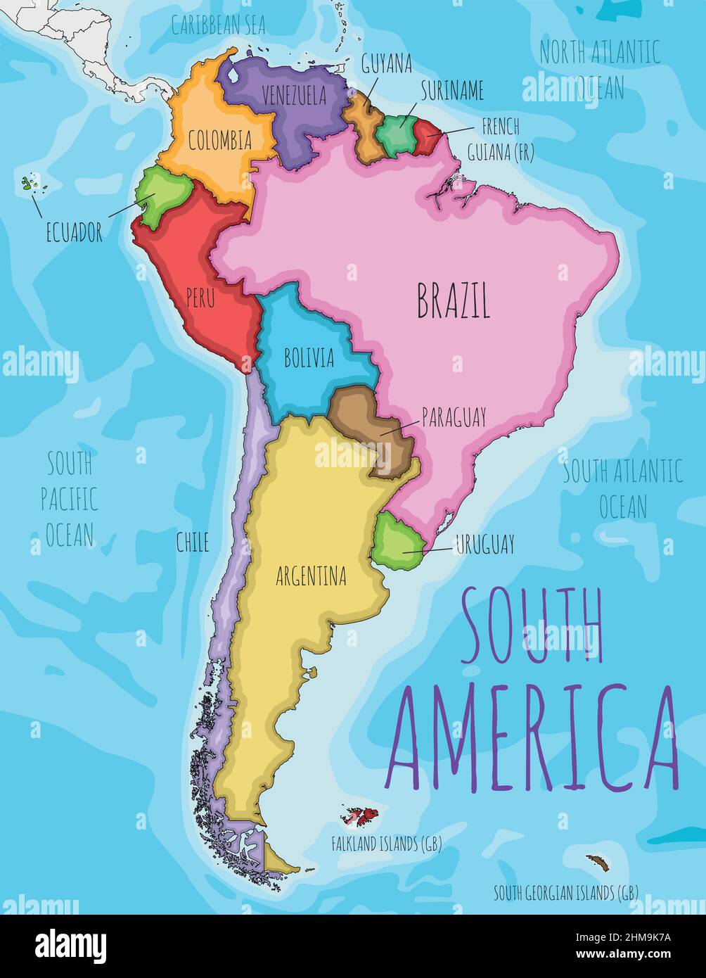
Political South America Map vector illustration with different colors for each country. Editable and clearly labeled layers.
RFID:Image ID:2HM9K7A
Image details
Contributor:
asantosg / Alamy Stock VectorImage ID:
2HM9K7AReleases:
Model - no | Property - noDo I need a release?Date created:
29 March 2022Location:
None