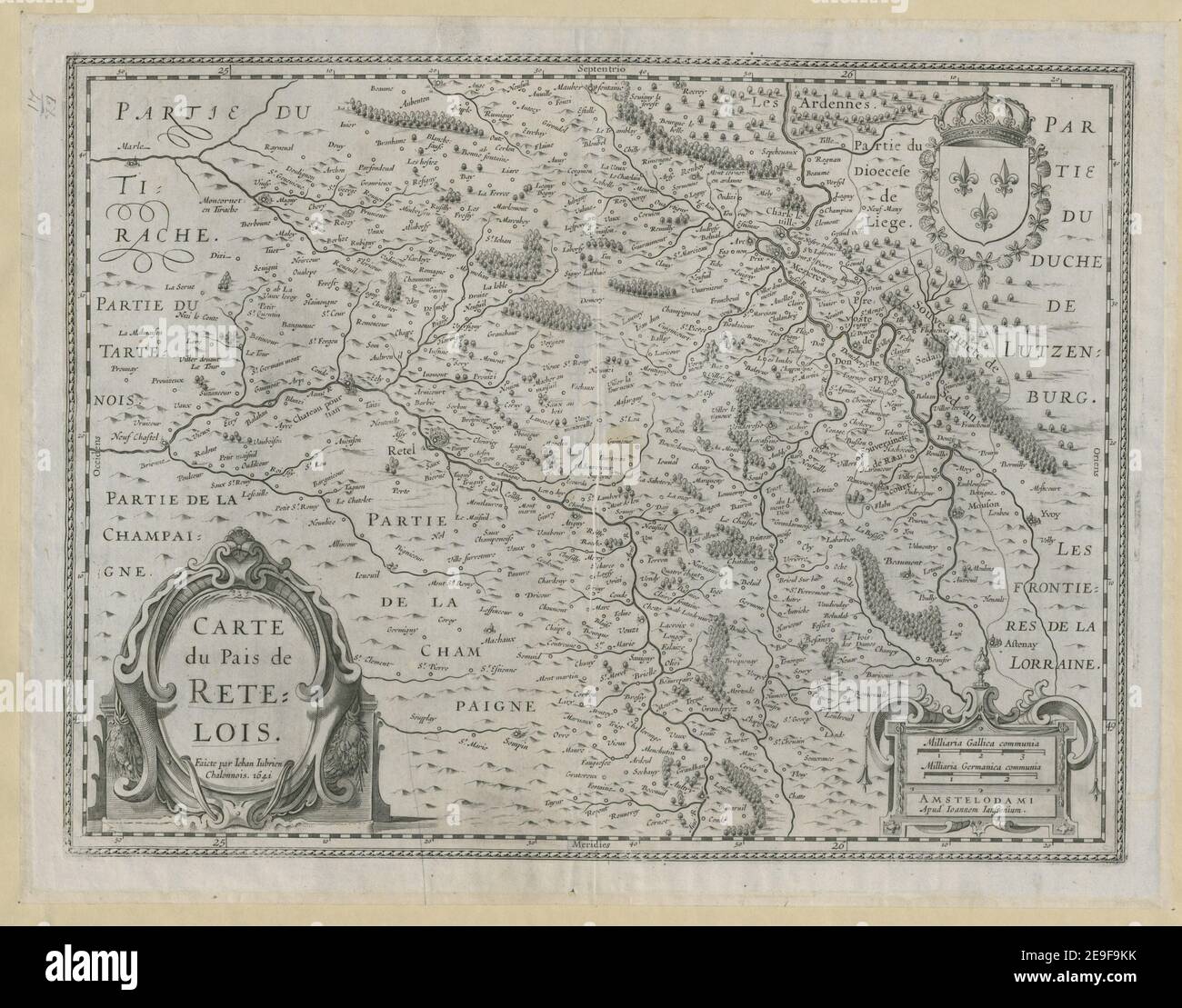
CARTE du Pais de RETELOIS. Author Jubrien, Jean 60.41. Place of publication: AMSTELODAMI Publisher: Apud Ioannem Ianssonium, Date of publication: 1641. Item type: 1 map Medium: copperplate engraving Dimensions: 35.2 x 47.2 cm Former owner: George III, King of Great Britain, 1738-1820
RMID:Image ID:2E9F9KK
Image details
Contributor:
Topographical Collection / Alamy Stock PhotoImage ID:
2E9F9KKFile size:
35.9 MB (2 MB Compressed download)Releases:
Model - no | Property - noDo I need a release?Dimensions:
4000 x 3136 px | 33.9 x 26.6 cm | 13.3 x 10.5 inches | 300dpiMore information:
This image is a public domain image, which means either that copyright has expired in the image or the copyright holder has waived their copyright. Alamy charges you a fee for access to the high resolution copy of the image.
This image could have imperfections as it’s either historical or reportage.