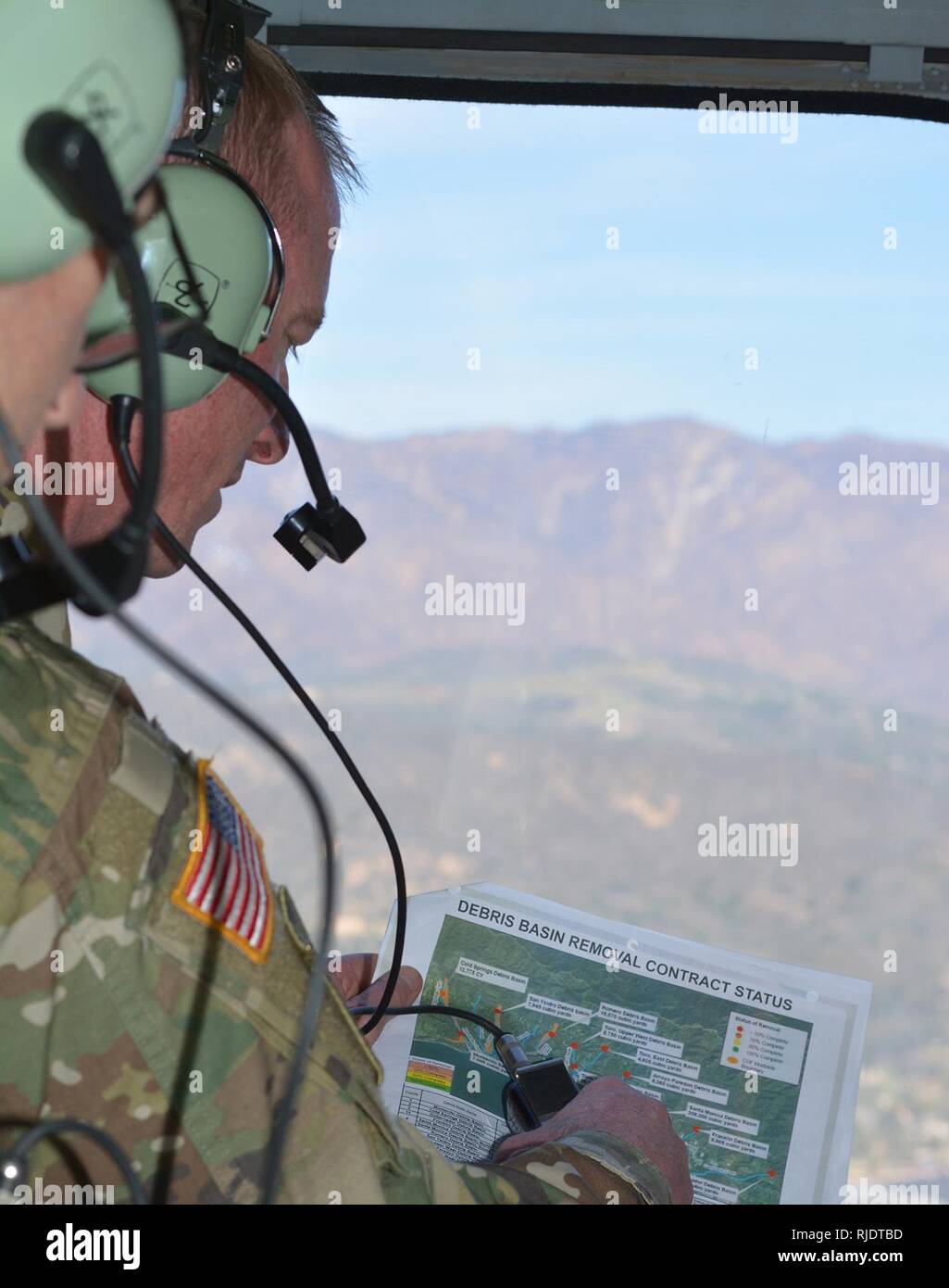
Col. Kirk Gibbs, U.S. Army Corps of Engineers Los Angeles District commander, views a map of the Santa Barbara basins while flying over the area Jan. 18 in a UH-60 Blackhawk helicopter. The Corps completed clearing all 11 basins and 11 channels in Santa Barbara County in April, following a devastating mudslide Jan. 9 in Montecito that took the lives of 23 people.
RMID:Image ID:RJDTBD
Image details
Contributor:
Nelly George / Alamy Stock PhotoImage ID:
RJDTBDFile size:
5.7 MB (146.3 KB Compressed download)Releases:
Model - no | Property - noDo I need a release?Dimensions:
1256 x 1592 px | 21.3 x 27 cm | 8.4 x 10.6 inches | 150dpiMore information:
This image is a public domain image, which means either that copyright has expired in the image or the copyright holder has waived their copyright. Alamy charges you a fee for access to the high resolution copy of the image.
This image could have imperfections as it’s either historical or reportage.