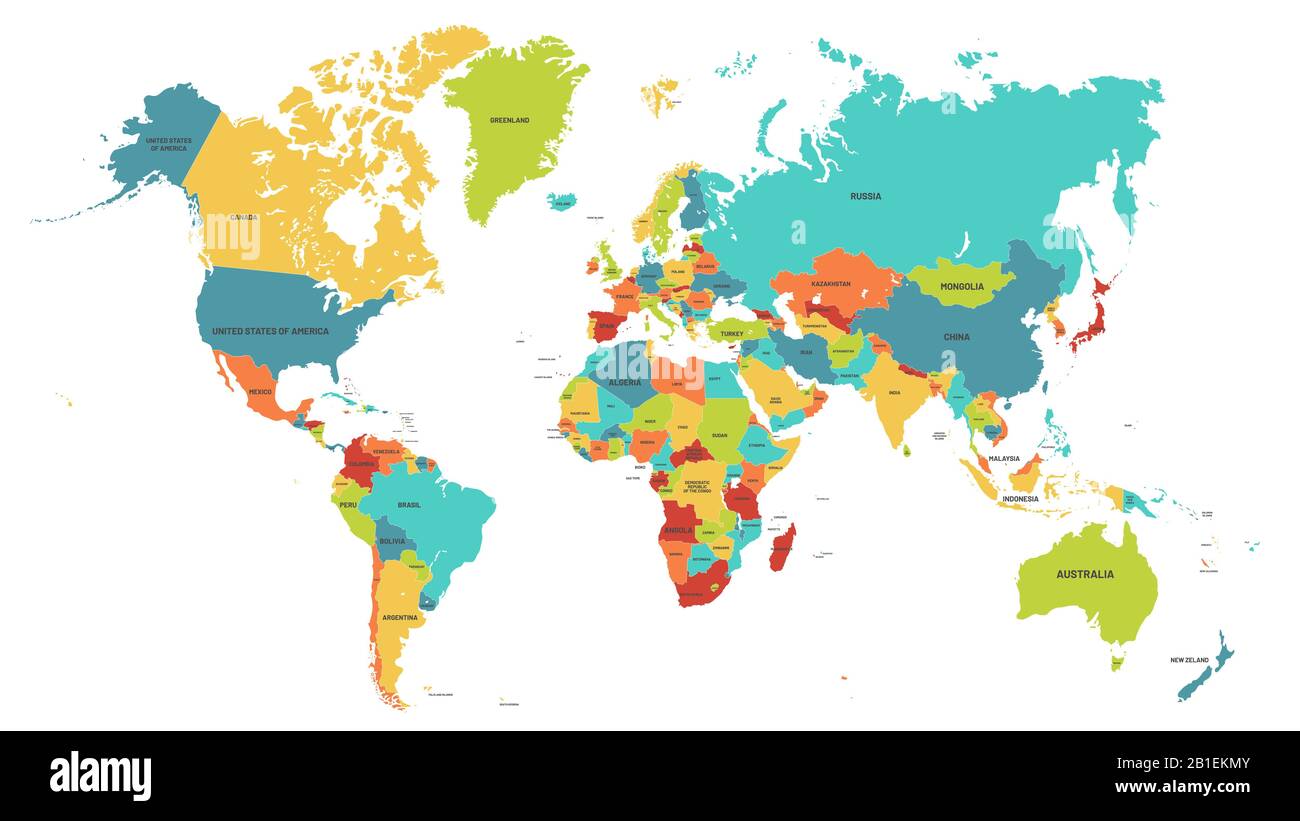
Colored world map. Political maps, colourful world countries and country names vector illustration
RFID:Image ID:2B1EKMY
Image details
Contributor:
Tetiana Lazunova / Alamy Stock VectorImage ID:
2B1EKMYReleases:
Model - no | Property - noDo I need a release?Date created:
29 May 2019More information:
Colored world map. Political maps, colourful world countries and country names. Geography politics map, world land atlas or planet cartography vector illustration