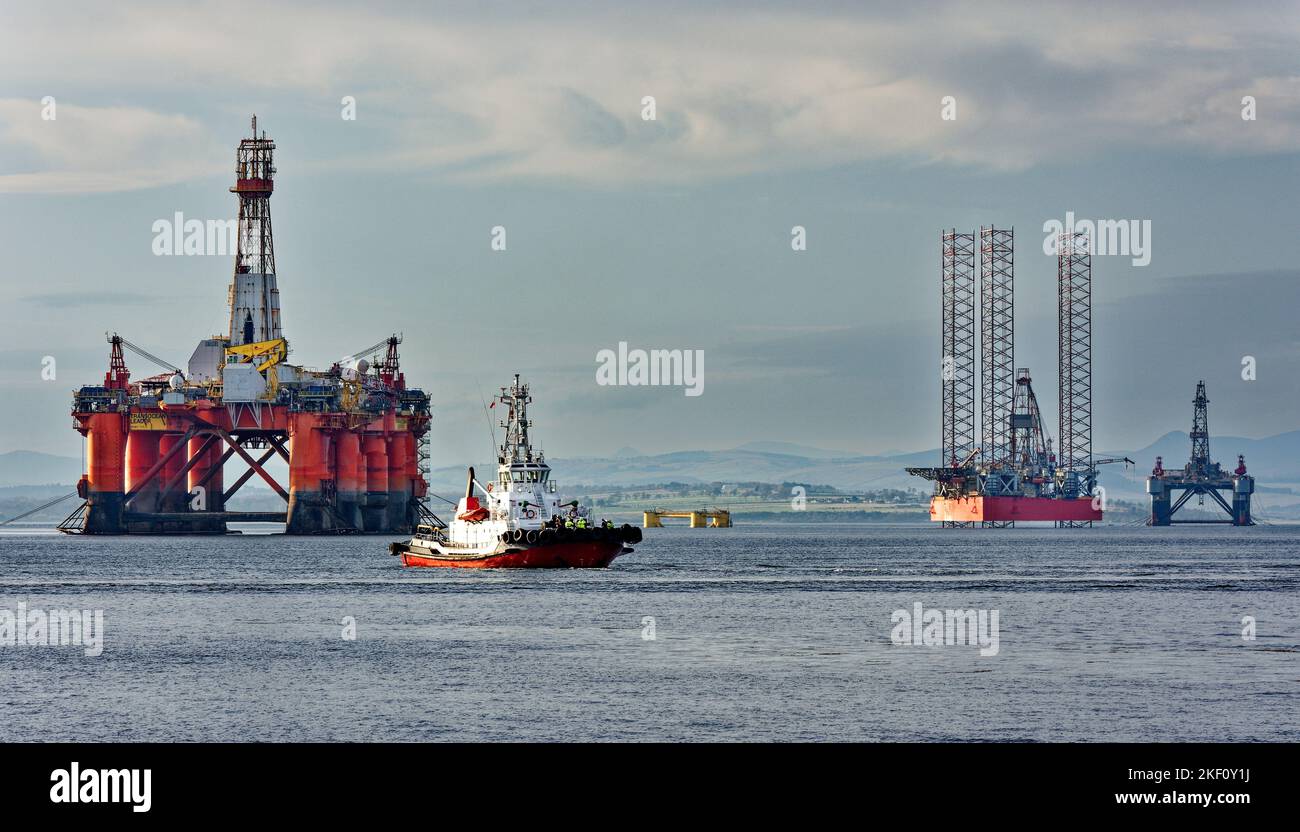
Cromarty Firth Scotland tug boat Strathdon passing in front of the orange oil rig Transocean Leader
Image details
Contributor:
JOHN BRACEGIRDLE / Alamy Stock PhotoImage ID:
2KF0Y1JFile size:
58.9 MB (3 MB Compressed download)Releases:
Model - no | Property - noDo I need a release?Dimensions:
6000 x 3429 px | 50.8 x 29 cm | 20 x 11.4 inches | 300dpiDate taken:
13 November 2022Location:
SCOTLANDMore information:
The entrance to the Cromarty Firth is guarded by two precipitous headlands; the one on the north 151 metres (495 ft) high and the one on the south 141 metres (463 ft) high — called "The Sutors" from a fancied resemblance to a couple of shoemakers (in Scots, souters) bent over their lasts. From the Sutors the Firth extends inland in a westerly and then south-westerly direction for a distance of 19 miles (30.6 km). Excepting between Nigg Bay and Cromarty Bay where it is about 5 miles (8 km) wide, and Alness Bay where it is 2 miles (3.2 km) wide, it has an average width of 1 mile (1.6 km). The southern shore of the Firth is formed by a peninsula known as the Black Isle. Good views of the Cromarty Firth are to be had from the Sutors or Cnoc Fyrish.