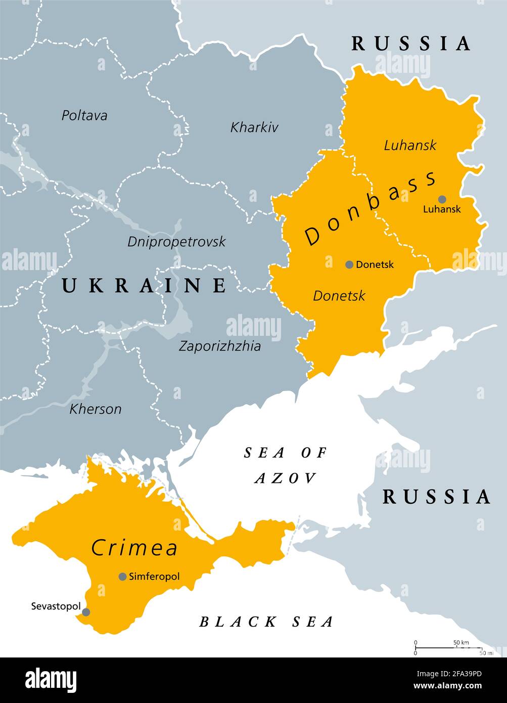
Donbass and Crimea, political map. Crimea peninsula on the coast of Black Sea, and Donbass region, formed by Donetsk and Luhansk region. Disputed area.
RFID:Image ID:2FA39PD
Image details
Contributor:
Peter Hermes Furian / Alamy Stock PhotoImage ID:
2FA39PDFile size:
133.4 MB (985.3 KB Compressed download)Releases:
Model - no | Property - noDo I need a release?Dimensions:
6000 x 7772 px | 50.8 x 65.8 cm | 20 x 25.9 inches | 300dpiDate taken:
22 April 2021Location:
UkraineMore information:
Donbass and Crimea, political map. Crimea peninsula on the coast of Black Sea, and Donbass region, formed by Donetsk and Luhansk region. Disputed areas between Ukraine and Russia. Illustration.