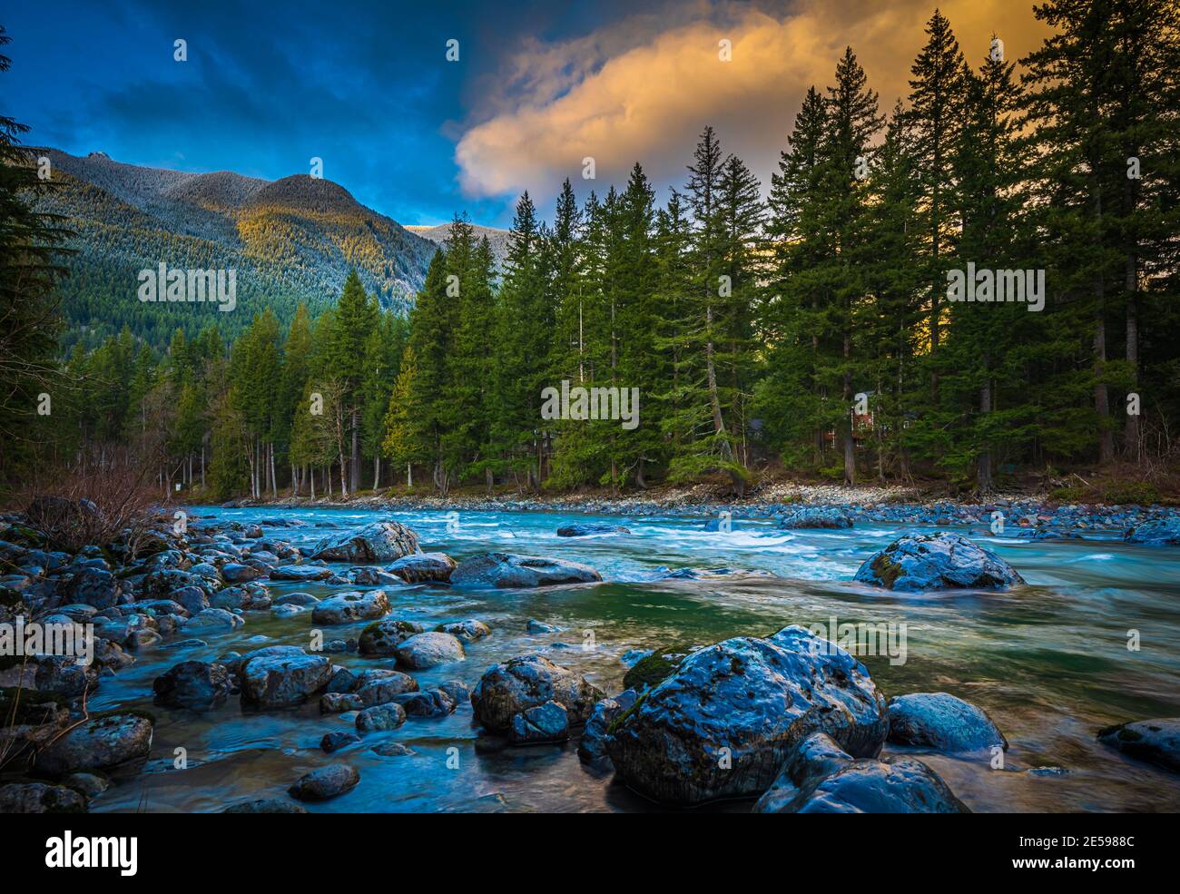
The Snoqualmie River is a 45-mile long river in King County and Snohomish County in the U.S. state of Washington.
Image details
Contributor:
Inge Johnsson / Alamy Stock PhotoImage ID:
2E5988CFile size:
88.2 MB (4.9 MB Compressed download)Releases:
Model - no | Property - noDo I need a release?Dimensions:
6690 x 4609 px | 56.6 x 39 cm | 22.3 x 15.4 inches | 300dpiDate taken:
25 January 2021Location:
Middle Fork Snoqualmie River, North Bend, Washington, United StatesMore information:
The Snoqualmie River is a 45-mile long river in King County and Snohomish County in the U.S. state of Washington. The river's three main tributaries are the North, Middle, and South Forks, which drain the west side of the Cascade Mountains near the town of North Bend and join near the town of Snoqualmie just above the Snoqualmie Falls. Many of the Snoqualmie River's headwaters originate as snowmelt within the Alpine Lakes Wilderness. The Middle Fork, approximately 41 miles long, [originates from Chains Lakes, and flows south to Williams Lake, then in an easterly direction until it meets with the North Fork near North Bend. It receives the waters of the Taylor River and the Pratt River in short order about halfway between its source and its mouth. It has one major waterfall along its course. The upper reaches of the Middle Fork, Taylor, and Pratt river valleys are within the boundaries of the Alpine Lakes Wilderness area. The Middle Fork Valley is a popular recreational area since it is accessible during the winter due to its low altitude and close proximity to Seattle.