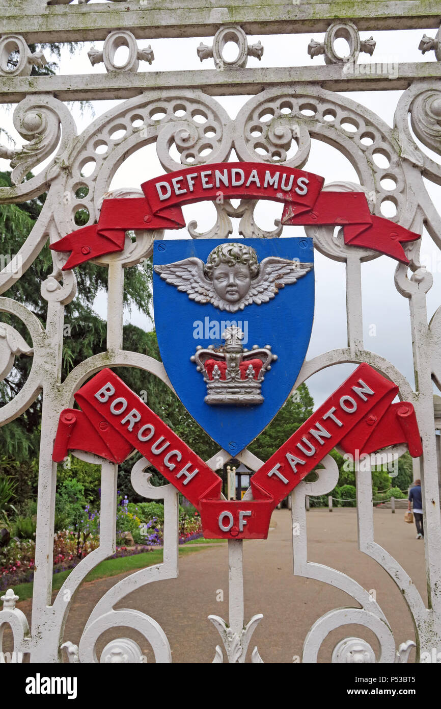
Coat of Arms, gates, Vivary Park, Taunton - Upper High St, Taunton, Somerset, South West England, UK, TA1 3SX - Defendamus Borough of Taunton
Image details
Contributor:
Tony Smith / Alamy Stock PhotoImage ID:
P53BT5File size:
57.1 MB (2.6 MB Compressed download)Releases:
Model - no | Property - noDo I need a release?Dimensions:
3648 x 5472 px | 30.9 x 46.3 cm | 12.2 x 18.2 inches | 300dpiDate taken:
18 June 2018Location:
Upper High St, Taunton, Somerset, South West England, UK, TA1 3SXMore information:
Vivary Park is a public open space in Taunton, Somerset, England. The Sherford Stream, a tributary of the River Tone, flows through the 7.5 hectares (19 acres) park, which is located near the centre of the town. It contains two main wide open spaces, as well as a war memorial dating from 1922, a miniature golf course, tennis courts, two children's playgrounds, a model railway track which was added in 1979, and an 18-hole, 4, 620-yard (4, 220 m), par-63 golf course. The park includes trees, rose beds and herbaceous borders, with around 56, 000 spring and summer bedding plants being used each year. The rose garden includes the Royal National Rose Society Provincial Trial Ground. The park is a garden of the European Garden Heritage Network. The park stands on land that was formerly a medieval fish farm, or vivarium, for Taunton Priory and Taunton Castle. Although nothing remains above ground of these lakes, they are the origin of the name Vivary. Entries in pipe rolls of the 13th and 14th centuries show that bream, pike, and eels were supplied from the vivarium to the Castle and sometimes to the royal household. These sources identify two ponds, the magnum vivarium, or great pond, which probably occupied the low-lying area of the present-day golf-course, and the parvum vivarium or little pond, within what is now the park proper. When a trench for a new sewer was cut through the park and its golf course during the 1970s, archaeologists were able to identify the deposits of silt left behind by the medieval fish ponds.