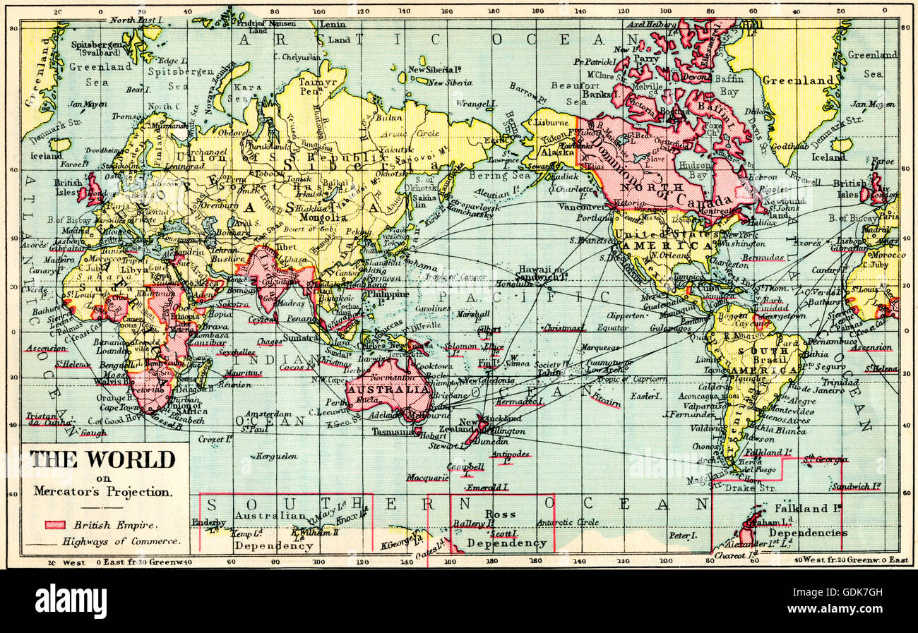
A 1930's map of the world on Mercator's projection. The British Empire shown in red.
RMID:Image ID:GDK7GH
Image details
Contributor:
Hilary Morgan / Alamy Stock PhotoImage ID:
GDK7GHFile size:
51 MB (4.7 MB Compressed download)Releases:
Model - no | Property - noDo I need a release?Dimensions:
5359 x 3327 px | 45.4 x 28.2 cm | 17.9 x 11.1 inches | 300dpiDate taken:
17 April 2016More information:
This image could have imperfections as it’s either historical or reportage.