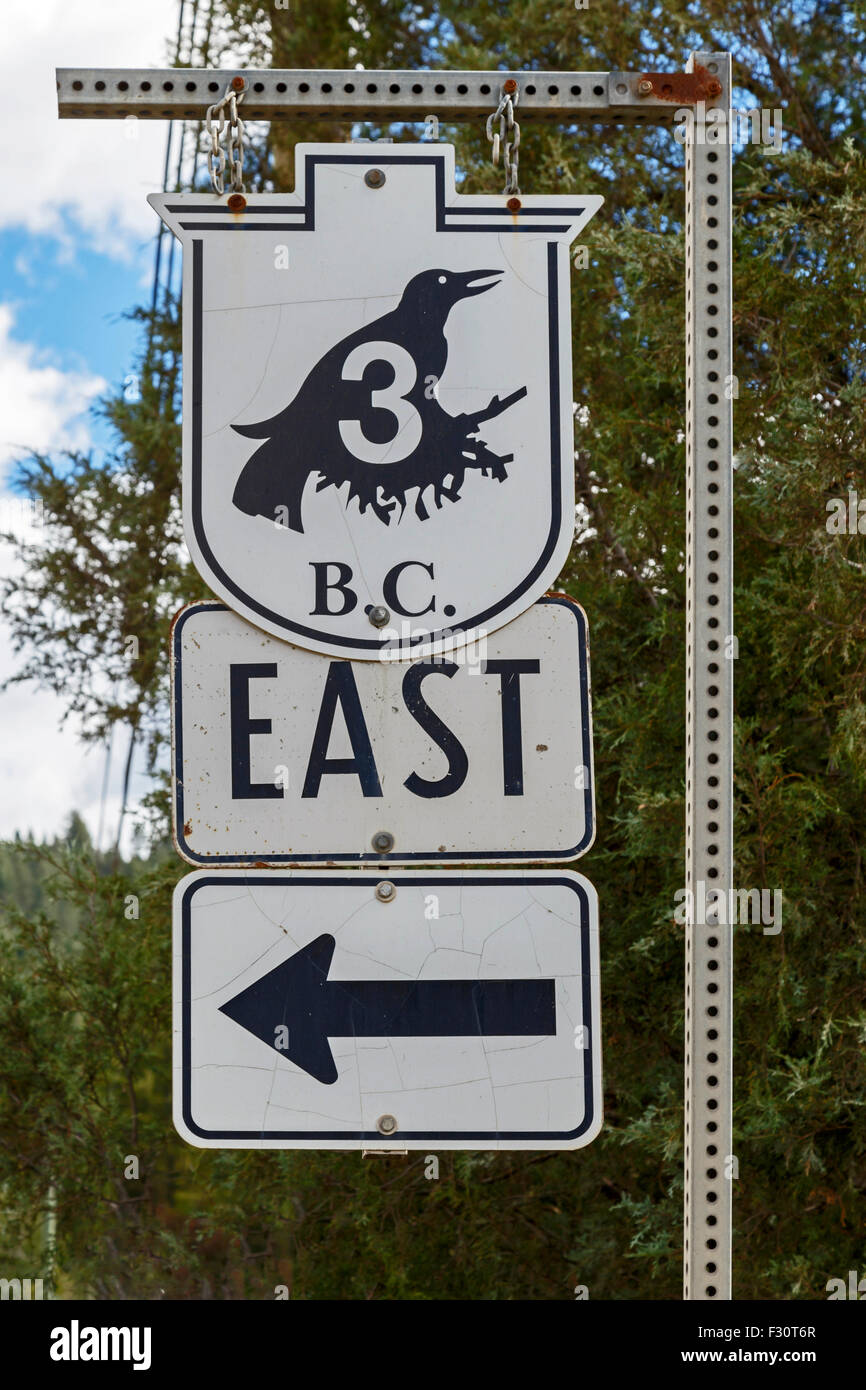
Highway 3 or Crowsnest Highway, also known as the Interprovincial or, the Southern Trans-Provincial in British Columbia, Canada
Image details
Contributor:
Mieneke Andeweg-van Rijn / Alamy Stock PhotoImage ID:
F30T6RFile size:
57.1 MB (1.7 MB Compressed download)Releases:
Model - no | Property - noDo I need a release?Dimensions:
3648 x 5472 px | 30.9 x 46.3 cm | 12.2 x 18.2 inches | 300dpiDate taken:
2 September 2015Location:
Crowsnest Highway, Greenwood, British Columbia, Canada, North AmericaMore information:
The Crowsnest Highway, also known as the Interprovincial or, in British Columbia, the Southern Trans-Provincial, is an east-west highway, 1, 161 km (721 mi) in length, through the southern parts of British Columbia and Alberta, providing the shortest highway connection between British Columbia's Lower Mainland and southeast Alberta. It is designated a core route in Canada's National Highway System, [1] and is designated as Highway 3 for its entire length. The highway, which is mostly two lanes, was officially established in 1932, mainly following a mid-19th century gold rush trail originally traced out by an engineer named Edgar Dewdney. It takes its name from the Crowsnest Pass, the location at which the highway crosses the Continental Divide between British Columbia and Alberta.