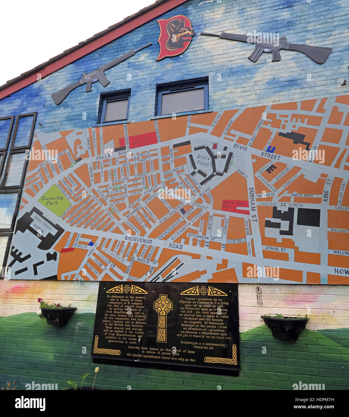
Falls rd,Garden of remembrance map, IRA members killed,also deceased ex-prisoners,West Belfast,NI, UK
Image details
Contributor:
Tony Smith / Alamy Stock PhotoImage ID:
HDPM7HFile size:
94.5 MB (4.9 MB Compressed download)Releases:
Model - no | Property - noDo I need a release?Dimensions:
5440 x 6072 px | 46.1 x 51.4 cm | 18.1 x 20.2 inches | 300dpiDate taken:
20 October 2016Location:
Junction Falls Road / Conway Street,West Belfast, Northern Ireland,UKMore information:
Memorial Title: Garden of Remembrance (Falls Road) Commemorating: IRA members killed during the conflict also civilians killed; also deceased ex-prisoners. Information about person(s) commemorated Date of Incident: January Description: Medium sized garden; series of monuments and plaques. Large number of names listed on the plaques. Inscription(s): Numerous inscriptions on panels around the garden and on the central memorial wall. Just a line Location Address: Falls Road, Falls, Belfast West, County Antrim, Northern Ireland. BT12 ?? Location Guide: Close to, and opposite to, the junction of Falls Road and Conway Street. Map Grid Ref: IJ325742 X, Y Co-ordinates: X: 332543, Y: 374213 Previous Location: Just a line Nature: Paramilitary, Republican, IRA Physical Type: Memorial Garden Physical Materials: Stone Granite, Plants, Hard Landscaping Setting: Garden Access: Private Unrestricted (gate usually open) Post Unveiling: Commissioned By: Falls Cultural Society