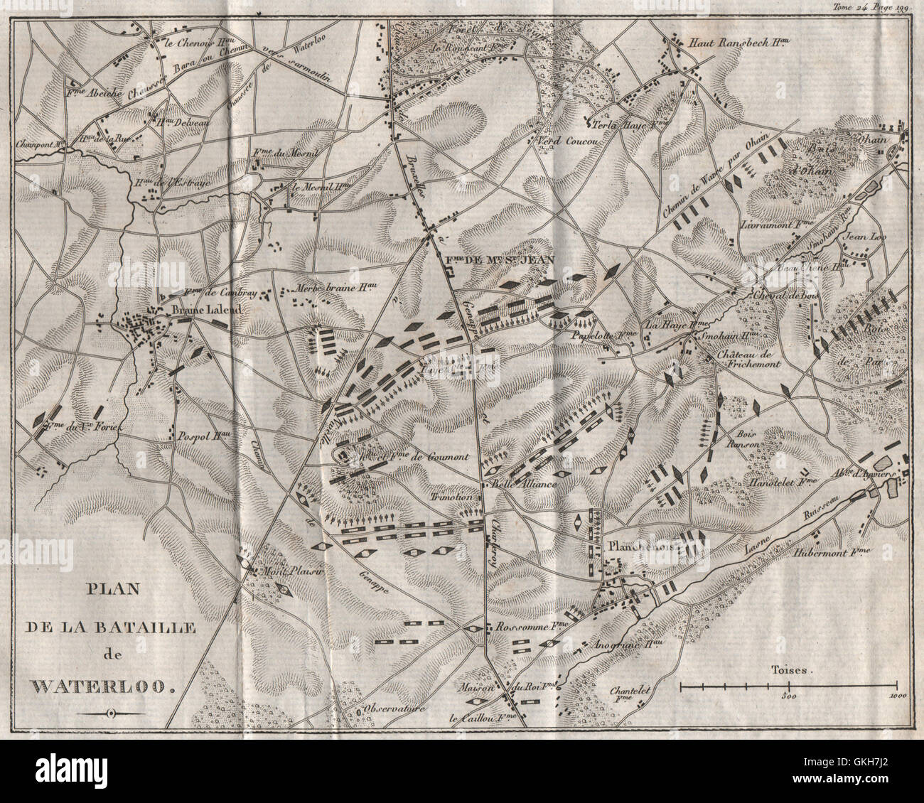
Plan of the Battle of Waterloo 1815. Belgium, 1821 antique map
RFID:Image ID:GKH7J2
Image details
Contributor:
Antiqua Print Gallery / Alamy Stock PhotoImage ID:
GKH7J2File size:
15.2 MB (1.4 MB Compressed download)Releases:
Model - no | Property - noDo I need a release?Dimensions:
2579 x 2065 px | 21.8 x 17.5 cm | 8.6 x 6.9 inches | 300dpiDate taken:
1821Location:
BelgiumMore information:
This image could have imperfections as it’s either historical or reportage.
'Plan de la Bataille de Waterloo'. Artist/engraver/cartographer: Unsigned. Provenance: "Victoires, conquêtes, désastres, revers et guerres civiles, des français" Published by C.L.F. Panckoucke, Paris. Type: Antique copperplate map.