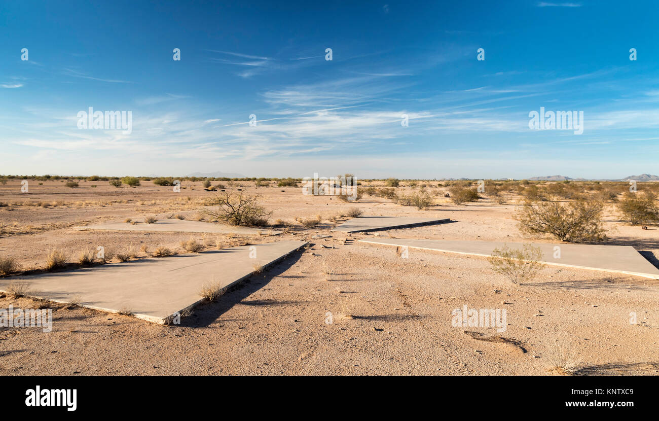
Casa Grande, Arizona - One of 256 satellite calibration markers placed in the Arizona desert by the U.S. Air Force and the Central Intelligence Agency
RMID:Image ID:KNTXC9
Image details
Contributor:
Jim West / Alamy Stock PhotoImage ID:
KNTXC9File size:
67.6 MB (3.8 MB Compressed download)Releases:
Model - no | Property - noDo I need a release?Dimensions:
6439 x 3669 px | 54.5 x 31.1 cm | 21.5 x 12.2 inches | 300dpiDate taken:
10 November 2017Location:
Casa Grande, AZ, United StatesMore information:
Casa Grande, Arizona - One of 256 satellite calibration markers placed in the Arizona desert by the U.S. Air Force and the Central Intelligence Agency during the Cold War. The concrete markers helped calibrate spy satellites to take pictures over Russia and China from 1959 to 1972.