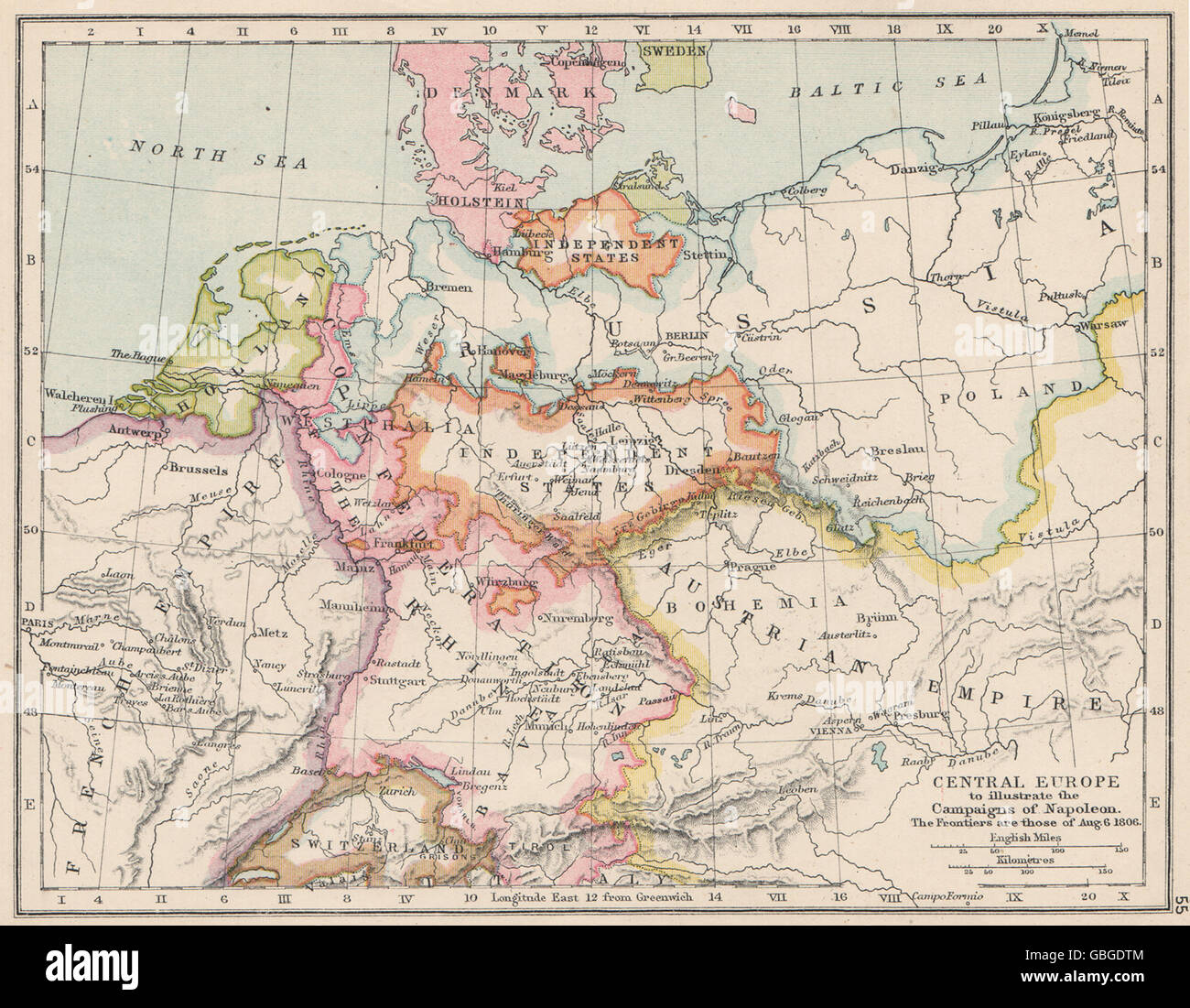
CENTRAL EUROPE:illustrating Napoleon's campaigns.1806 frontiers.Battles 1907 map
RFID:Image ID:GBGDTM
Image details
Contributor:
Antiqua Print Gallery / Alamy Stock PhotoImage ID:
GBGDTMFile size:
10.7 MB (869.7 KB Compressed download)Releases:
Model - no | Property - noDo I need a release?Dimensions:
2196 x 1708 px | 37.2 x 28.9 cm | 14.6 x 11.4 inches | 150dpiDate taken:
1907Location:
EuropeMore information:
This image could have imperfections as it’s either historical or reportage.
'Central Europe to illustrate the Campaigns of Napoleon. The frontiers are those of Aug. 6 1806'. Artist/engraver/cartographer: Unsigned. Provenance: "A School Atlas of English History"; Edited by Samuel Rawson Gardiner; Published by Longmans, Green, & Co., London. Type: Antique colour map.