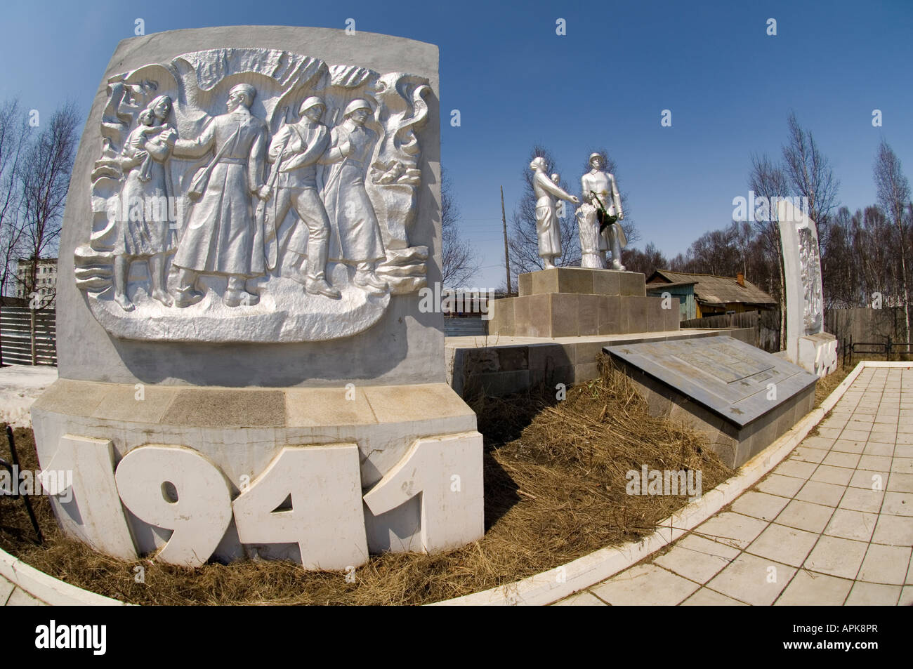
Great Patriotic War 19411945 Monument at Nogligi on Sakhalin Island
Image details
Contributor:
Ali Mukerrem Furtun / Alamy Stock PhotoImage ID:
APK8PRFile size:
71.7 MB (3.1 MB Compressed download)Releases:
Model - no | Property - noDo I need a release?Dimensions:
6144 x 4081 px | 52 x 34.6 cm | 20.5 x 13.6 inches | 300dpiDate taken:
5 May 2007Location:
Nogligi Sakhalin Island Russia Russian FederationMore information:
Sakhalin, also Saghalien, is a large elongated island in the North Pacific, lying between 45°50' and 54°24' N. It is part of Russia and is its largest island, administered as part of Sakhalin Oblast. The indigenous peoples of the island are the Sakhalin Ainu, Oroks, and Nivkhs. However in 1949 Russians expelled all Ainu (and Japanese) on the island with most relocating to Hokkaidō. The European names derived from misinterpretation of a Manchu name sahaliyan ula angga hada (peak of the mouth of Amur River). Sahaliyan means black in Manchu and refers to Amur River (sahaliyan ula). Its Japanese name, Karafuto comes from Ainu Kamuy-Kara-Puto-Ya-Mosir (Kara Puto), which means "God of mouth of water land". The name was restored to the island by the Japanese during their possession of its southern part (1905-1945).Sakhalin is separated from the mainland by the narrow and shallow Mamiya Strait or Strait of Tartary, which often freezes in winter in its narrower part, and from Hokkaidō, (Japan) by the Soya Strait or Strait of La Pérouse. Sakhalin is the largest island of Russia, being 948 km (589 miles) long, and 25 to 170 km (16 to 105 miles) wide, with an area of 78, 000 km² (30, 100 mi²).Its orography and geological structure are imperfectly known. Nearly two-thirds of Sakhalin is mountainous. Two parallel ranges of mountains traverse it from north to south, reaching 600–1500 m (2000–5000 ft). The Western Sakhalin Mountains peak in Mount Ichara, 1481 m (4860 ft), while the Eastern Sakhalin Mountains's highest peak is Mount Lopatin 1609 m (5279 ft) is also the island's highest mountain. Tym-Poronaiskaya Valley separates the two ranges. Susuanaisky and Tonino-Anivsky ranges traverse the island in the south, while the swampy Northern-Sakhalin plain occupies most of its north.Crystalline rocks crop out at several capes.