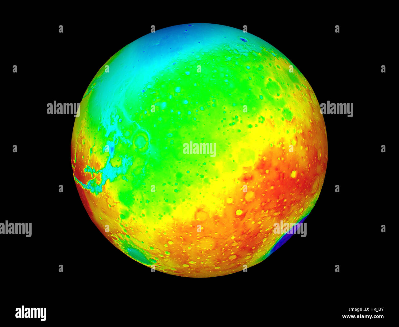
Martian Topography, Mars Orbiter Laser Altimeter
Image details
Contributor:
Science History Images / Alamy Stock PhotoImage ID:
HRJJ3YFile size:
27.8 MB (617.7 KB Compressed download)Releases:
Model - no | Property - noDo I need a release?Dimensions:
3600 x 2700 px | 30.5 x 22.9 cm | 12 x 9 inches | 300dpiPhotographer:
Photo ResearchersMore information:
This image could have imperfections as it’s either historical or reportage.
Martian topography. Three-dimensional map of the topography of Mars. Elevation is color-coded, from red (highest) through yellow, green and blue to purple (lowest). The Martian equator runs across center. The huge Hellas Planitia impact basin (purple) is on the limb at lower right. At lower left is the smaller Argyre Planitia impact basin (green). At center left is the eastern end of the Valles Marineris valley system (light blue), which extends for over 5000 kilometers. Data collected by the Mars Orbiter Laser Altimeter (MOLA) on the Mars Global Surveyor spacecraft. 27 million height measurements were made by timing laser pulses sent to Mars' surface.