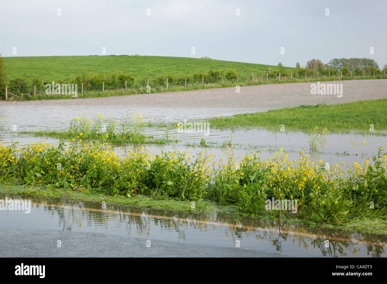
Flood water from River Parrett flowing downhill at the Athelney spillway onto the A361 on 2 May 2012. The A361 road was closed briefly as it became impassable due to the continuous rain which has caused widespread flooding across the Somerset Levels despite the official drought declaration.
RMID:Image ID:CAXDT3
Image details
Contributor:
Nick Cable / Alamy Stock PhotoImage ID:
CAXDT3File size:
60.2 MB (2.8 MB Compressed download)Releases:
Model - no | Property - noDo I need a release?Dimensions:
5616 x 3744 px | 47.5 x 31.7 cm | 18.7 x 12.5 inches | 300dpiDate taken:
2 May 2012Location:
A361, Athelney, nr Taunton, Somerset Levels, EnglandMore information:
This image could have imperfections as it’s either historical or reportage.