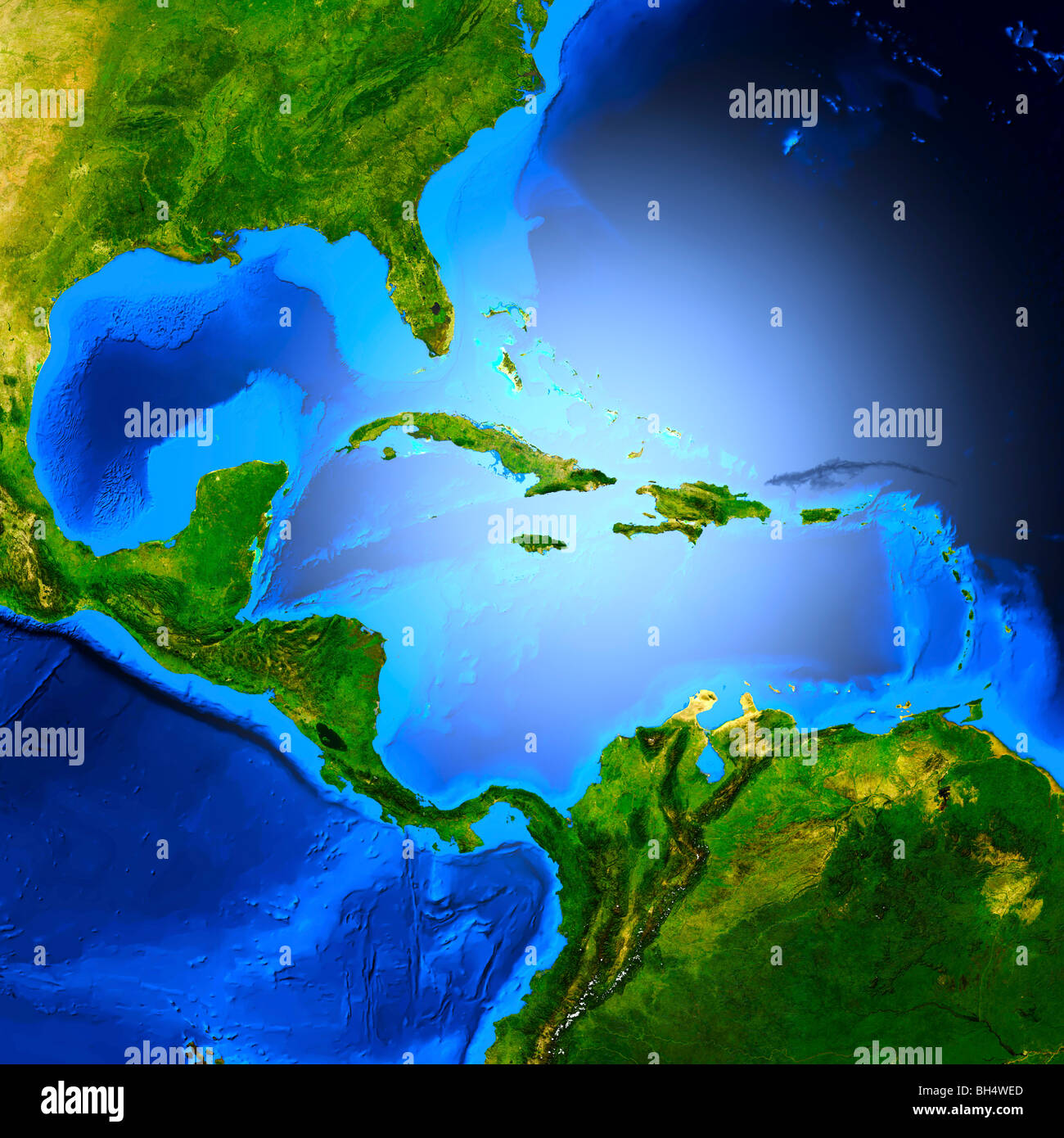
Map of Central America showing the Caribbean sea, The Gulf of Mexico, Cuba, Haiti etc.
RFID:Image ID:BH4WED
Image details
Contributor:
MaximImages / Alamy Stock PhotoImage ID:
BH4WEDFile size:
71.5 MB (3.1 MB Compressed download)Releases:
Model - no | Property - noDo I need a release?Dimensions:
5000 x 5000 px | 42.3 x 42.3 cm | 16.7 x 16.7 inches | 300dpiDate taken:
2010More information:
Detailed 3D render of the map of Central America showing the Caribbean sea, The Gulf of Mexico, Cuba, Haiti, Dominican Republic, Mexico, Jamaica, the Bahamas etc.