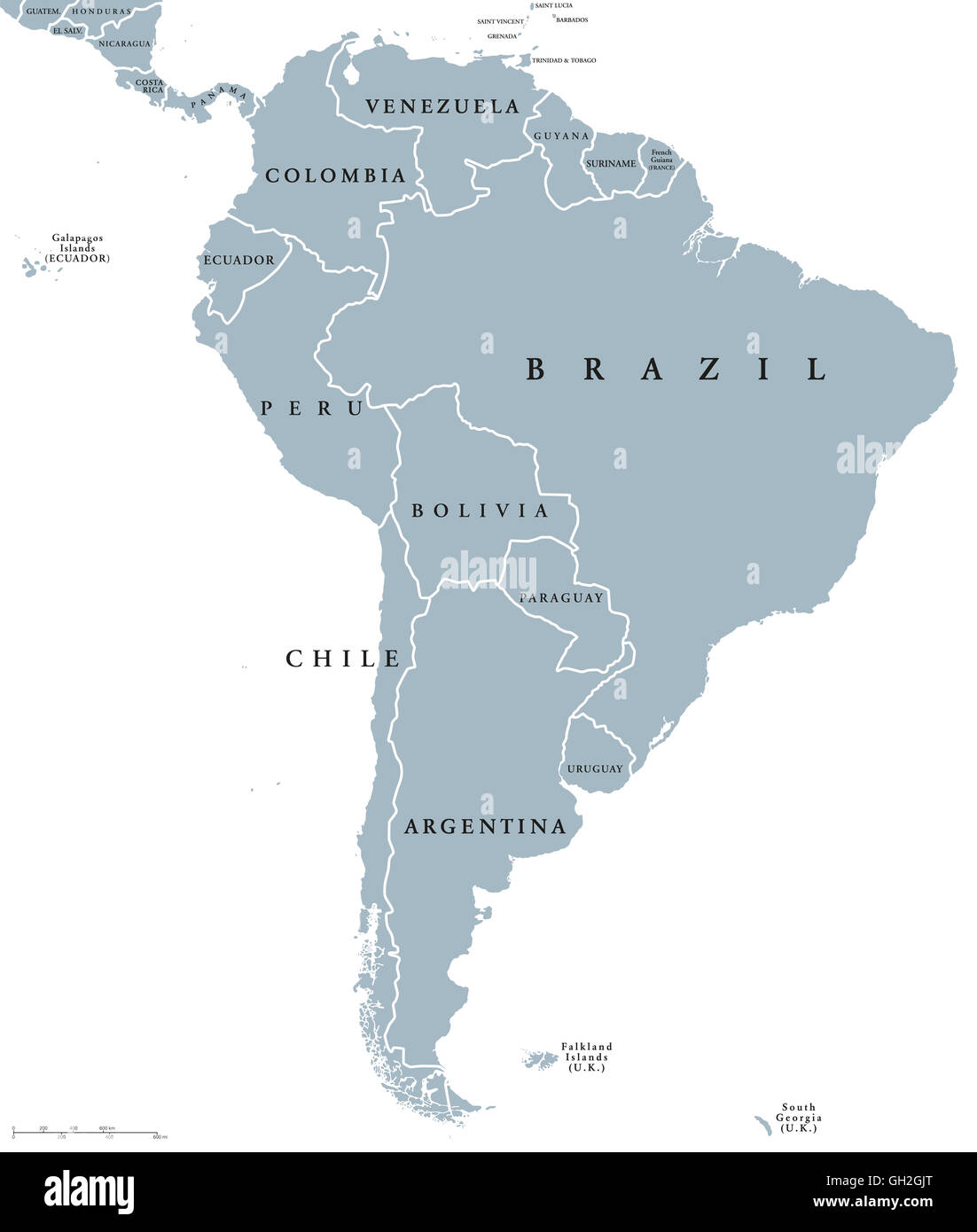
South America countries political map with national borders. Continent surrounded by Pacific and Atlantic Ocean.
RFID:Image ID:GH2GJT
Image details
Contributor:
Peter Hermes Furian / Alamy Stock PhotoImage ID:
GH2GJTFile size:
121.4 MB (969.9 KB Compressed download)Releases:
Model - no | Property - noDo I need a release?Dimensions:
6000 x 7074 px | 50.8 x 59.9 cm | 20 x 23.6 inches | 300dpiDate taken:
7 August 2016Location:
South AmericaMore information:
South America countries political map with national borders. Continent surrounded by Pacific and Atlantic Ocean. English labeling. Illustration.