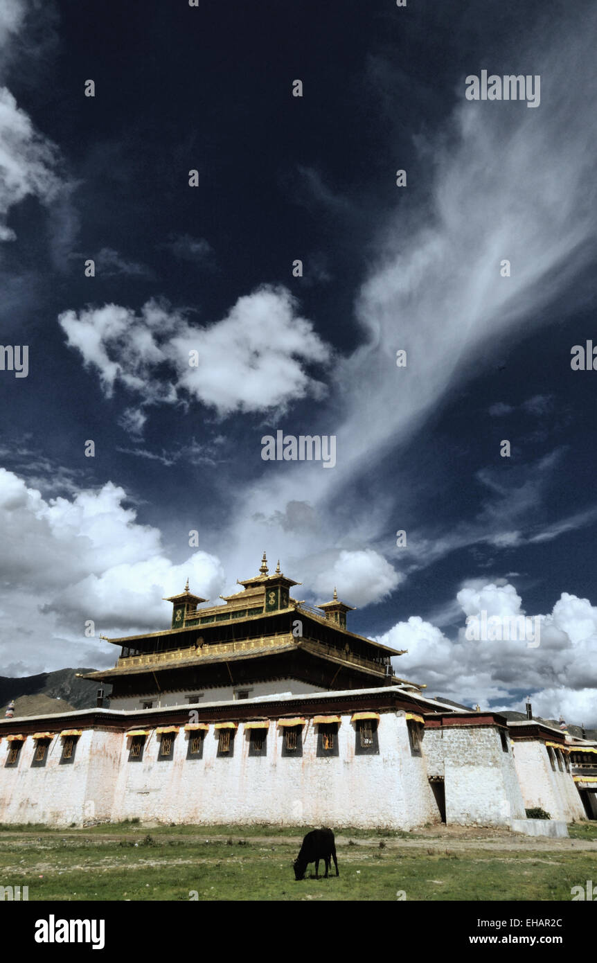
Samye Monastery
Image details
Contributor:
François-Olivier Dommergues / Alamy Stock PhotoImage ID:
EHAR2CFile size:
33.9 MB (1 MB Compressed download)Releases:
Model - no | Property - noDo I need a release?Dimensions:
2803 x 4223 px | 23.7 x 35.8 cm | 9.3 x 14.1 inches | 300dpiDate taken:
August 2010Location:
Tibet, ChinaMore information:
The Tibet Autonomous Region (TAR) or Xizang Autonomous Region, called Tibet or Xizang, is a province-level autonomous region of the People's Republic of China (PRC). It was created in 1965 on the basis of Tibet's incorporation by the PRC in 1951. Tibet is the second-largest province-level division of China by area, spanning over 1, 200, 000 square kilometres, after Xinjiang, and mostly due to its harsh and rugged terrain, is the least densely populated province of the PRC. Tibet is the traditional homeland of the Tibetan people as well as some other ethnic groups such as Monpa, Qiang and Lhoba peoples. It is now also inhabited by considerable numbers of Han Chinese and Hui people. Tibet is the highest region on Earth, with an average elevation of 4, 900 metres. The highest elevation in Tibet is Mount Everest, earth's highest mountain rising 8, 848 m above sea level. The original buildings of Samye Monastery have long disappeared. They have been badly damaged several times -by civil war in the 11th century, by fires in the mid-17th century and in 1826, by an earthquake in 1816, and in the 20th century during the Cultural Revolution. Until the late 1980s pigs and other farm animals were allowed to wander through the sacred buildings. Each time it has been rebuilt, and today, largely due to the efforts of the 10th Panchen Lama from 1986 onwards, Samye has become again an active monastery and important pilgrimage destination.