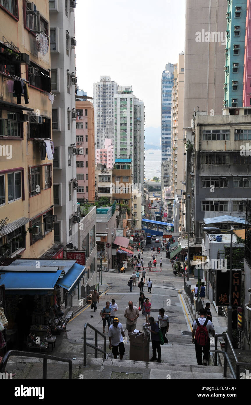
Eastern Street, looking downhill from the ladder steps at the top, north towards Victoria Harbour, Sai Ying Pun, Hong Kong
Image details
Contributor:
robert harrison / Alamy Stock PhotoImage ID:
BM70J7File size:
48.1 MB (1.8 MB Compressed download)Releases:
Model - no | Property - noDo I need a release?Dimensions:
3340 x 5031 px | 28.3 x 42.6 cm | 11.1 x 16.8 inches | 300dpiDate taken:
1 August 2009Location:
Eastern Street (downhill towards Connaught Road Victoria Harbour), Sai Ying Pun, Hong Kong, ChinaMore information:
Eastern Street, first macadamised and concreted in the 1880s, and settled by Chinese immigrants moving into the colony, was one of several planned streets in the early development of Hong Kong in colonial times. The neighbourhood of Sai Ying Pun ('west military camp') was the site of an early British military camp. The 1 in 6 gradient is testimony to the shortage of flat land in Hong Kong, the flatter gradient northern section of the road being on land that has been reclaimed from Victoria Harbour, visible in the background of the view. Queen's Road West, crossing Eastern Street at the foot of its steep, concreted upper slope, originally followed the shoreline of the harbour.