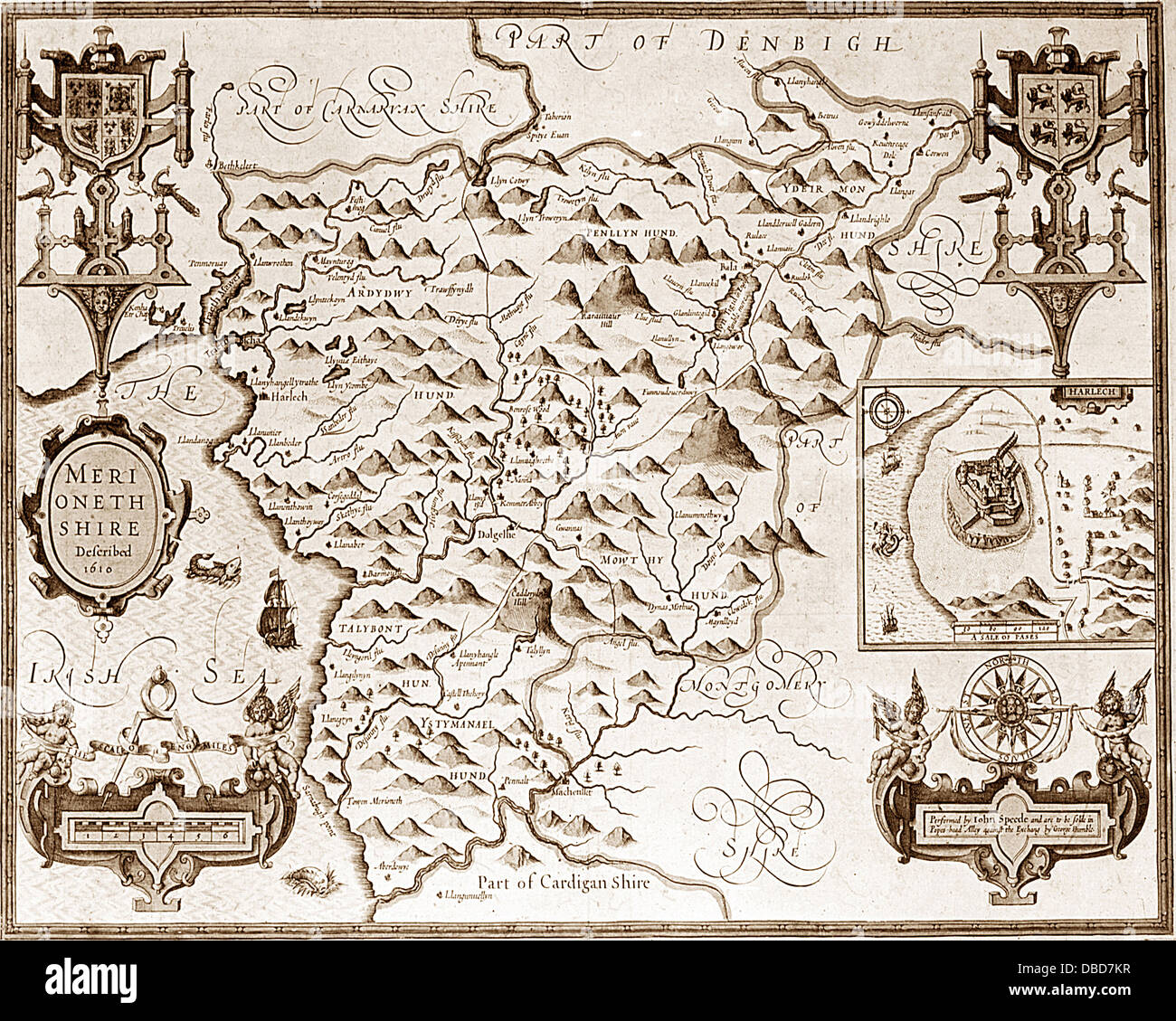
17th Century (1610) Map of Merionethshire
RMID:Image ID:DBD7KR
Image details
Contributor:
KGPA Ltd / Alamy Stock PhotoImage ID:
DBD7KRFile size:
20 MB (1.9 MB Compressed download)Releases:
Model - no | Property - noDo I need a release?Dimensions:
2953 x 2362 px | 25 x 20 cm | 9.8 x 7.9 inches | 300dpiDate taken:
31 December 1610Location:
Merionethshire Wales UKPhotographer:
The Keasbury-Gordon Photograph ArchiveMore information:
This image could have imperfections as it’s either historical or reportage.
This is a map by John Speed dated 1610. It is sharp and clear. The Keasbury-Gordon Photograph Archive.