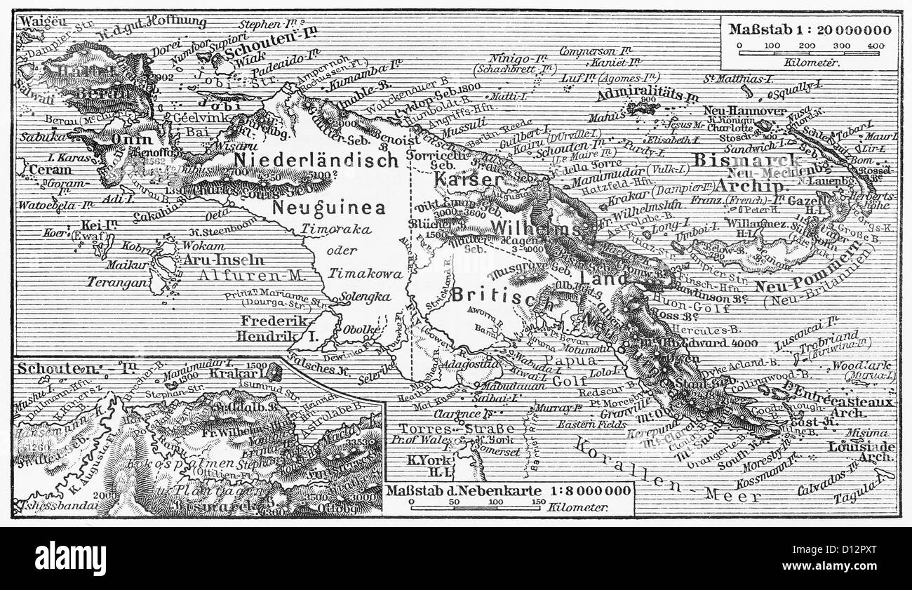
Vintage map of New Guinea from the end of 19th century
RFID:Image ID:D12PXT
Image details
Contributor:
Oprea Nicolae / Alamy Stock PhotoImage ID:
D12PXTFile size:
36.6 MB (3.3 MB Compressed download)Releases:
Model - no | Property - noDo I need a release?Dimensions:
4704 x 2718 px | 39.8 x 23 cm | 15.7 x 9.1 inches | 300dpiDate taken:
30 May 2012More information:
Vintage map of New Guinea from the end of 19th century - Picture from Meyers Lexicon books collection published between 1905 - 1909 Germany.