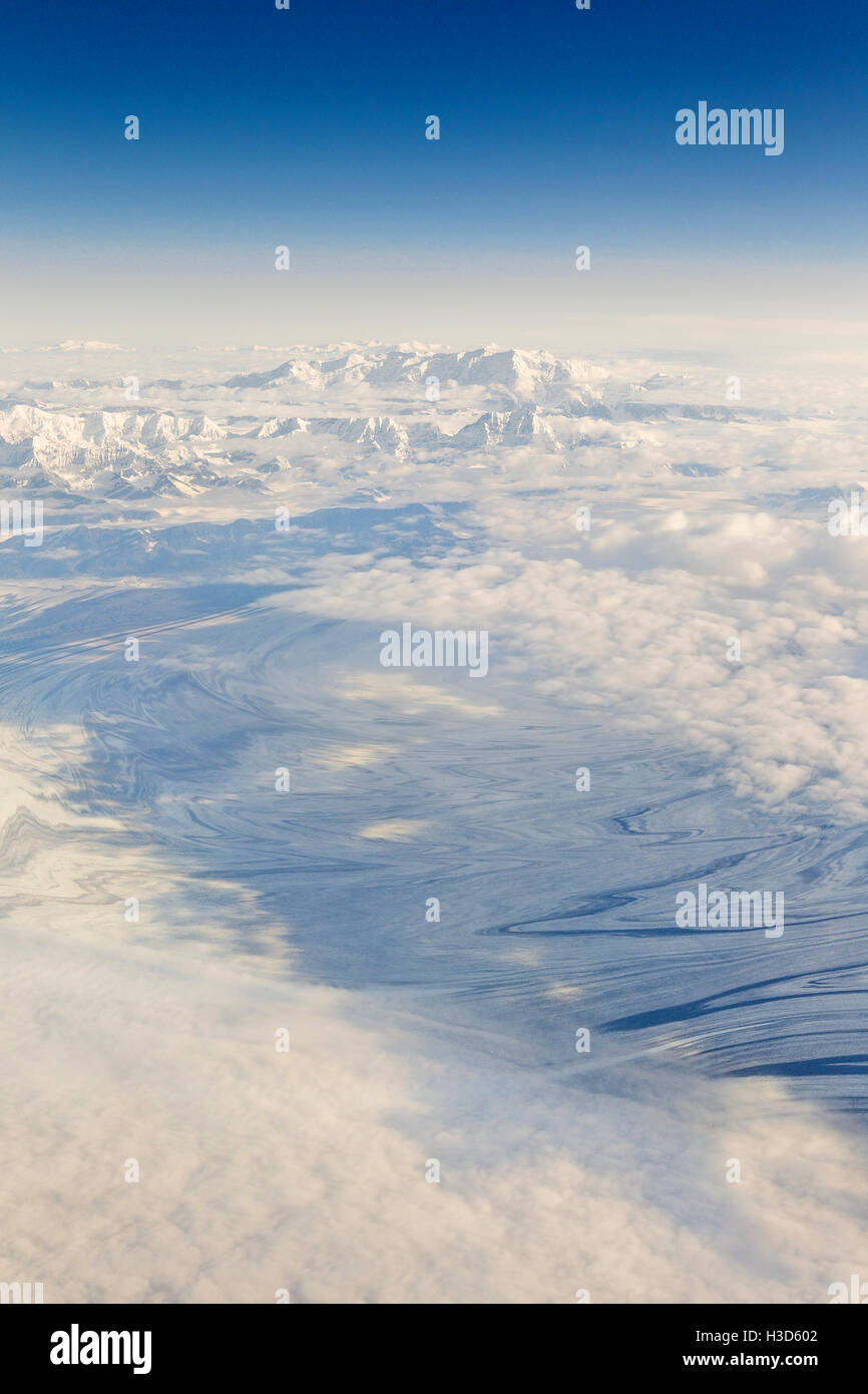
Aerial view of the Malaspina Glacier in Alaska, the world's largest piedmont glacier spilling from the Saint Elias Mountains
Image details
Contributor:
Tim Plowden / Alamy Stock PhotoImage ID:
H3D602File size:
45.7 MB (1.4 MB Compressed download)Releases:
Model - no | Property - noDo I need a release?Dimensions:
3264 x 4896 px | 27.6 x 41.5 cm | 10.9 x 16.3 inches | 300dpiDate taken:
2 September 2014Location:
Alaska, USAMore information:
The Malaspina Glacier in southeastern Alaska is North America's largest piedmont glacier (formed at the base of a mountain rather than enclosed by a valley). It covers an area larger than Rhode Island, it is about 65 km (40 mi) wide and 45 km (28 mi) long, with an area of some 3, 900 km2 (1, 500 sq mi). The Malaspina-Seward glacier system lost about 20 m (66 ft) of its thickness between 1980 and 2000; because the glacier is so large, that amount of shrinkage was sufficient to contribute 1/2 of one percent of the rise in the global sea level. Nearly all of the glacier is encompassed by the southeast lobe of the Wrangell-St. Elias National Park and Preserve. In October 1969, the glacier became a National Natural Landmark. (Wikipedia)