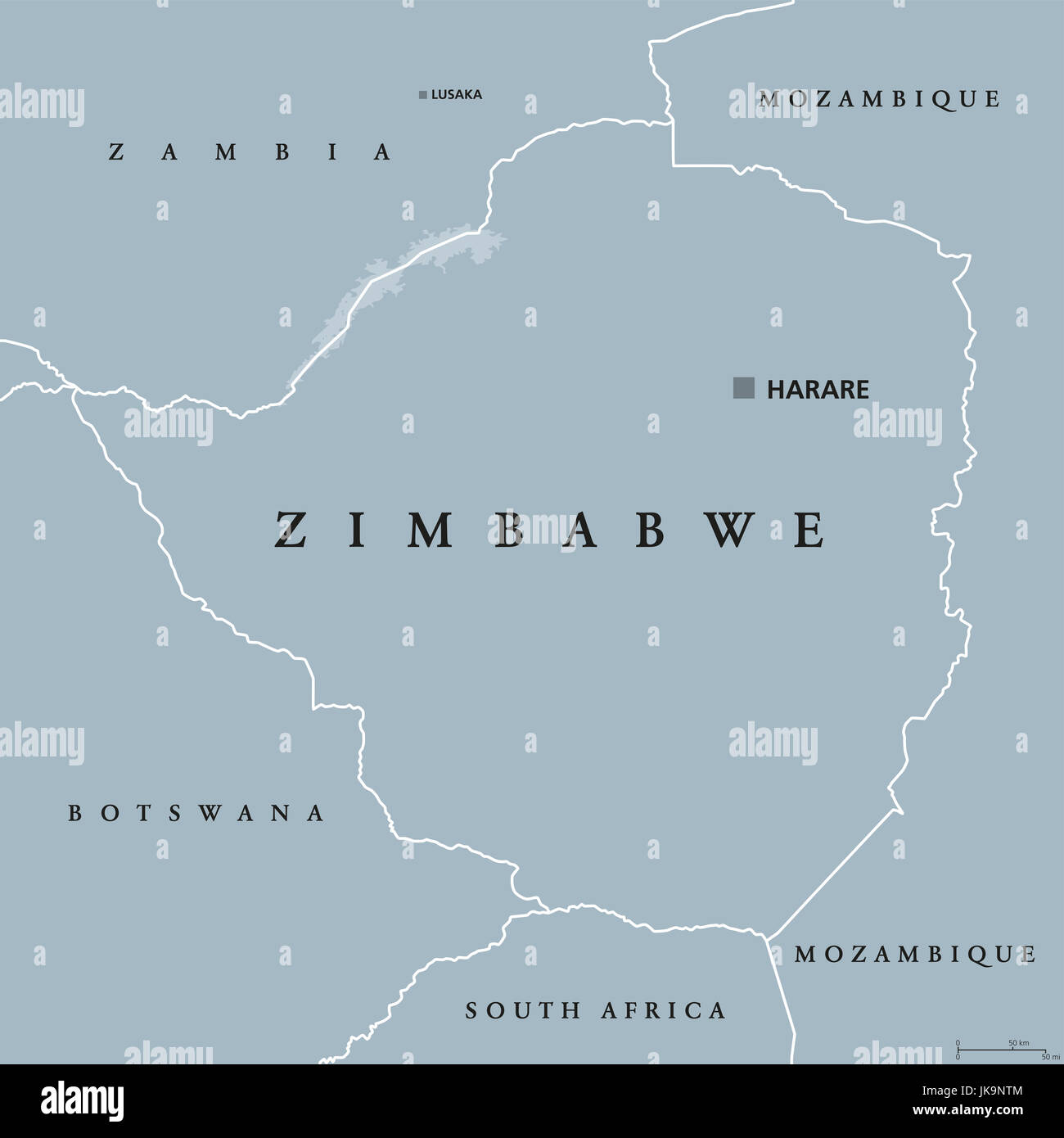
Zimbabwe political map with capital Harare, international borders and neighbors. Republic and landlocked country in South Africa.
RFID:Image ID:JK9NTM
Image details
Contributor:
Peter Hermes Furian / Alamy Stock PhotoImage ID:
JK9NTMFile size:
184.6 MB (1.1 MB Compressed download)Releases:
Model - no | Property - noDo I need a release?Dimensions:
8033 x 8033 px | 68 x 68 cm | 26.8 x 26.8 inches | 300dpiDate taken:
22 July 2017Location:
ZimbabweMore information:
Zimbabwe political map with capital Harare, international borders and neighbors. Republic and landlocked country in South Africa. Former Southern Rhodesia. Gray illustration. English labeling.