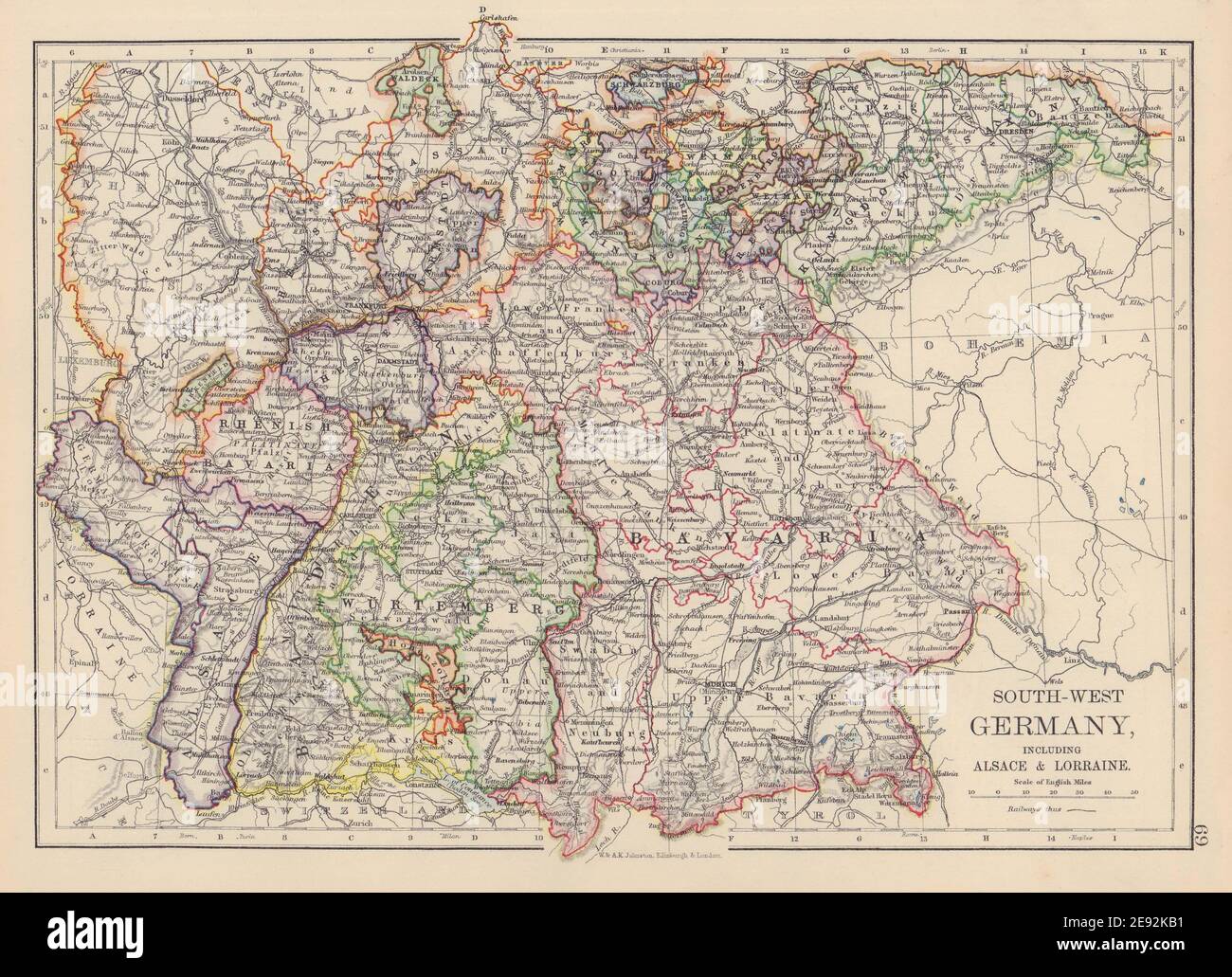
GERMANY SOUTH. Bavaria Bayen Baden Wurttemberg with Alsace Lorraine 1901 map
RFID:Image ID:2E92KB1
Image details
Contributor:
Antiqua Print Gallery / Alamy Stock PhotoImage ID:
2E92KB1File size:
25.8 MB (1.6 MB Compressed download)Releases:
Model - no | Property - noDo I need a release?Dimensions:
3527 x 2555 px | 29.9 x 21.6 cm | 11.8 x 8.5 inches | 300dpiDate taken:
1901Location:
GermanyMore information:
This image could have imperfections as it’s either historical or reportage.
South-West Germany including Alsace & Lorraine. Artist/engraver/cartographer: W. & A.K. Johnston, Limited Edinburgh & London. Provenance: "The Victoria Atlas (formerly the Victoria Regina Atlas)"; Published by W & A.K. Johnston, Ltd, Edinburgh & London: 2nd Edition. Type: Antique colour atlas map.