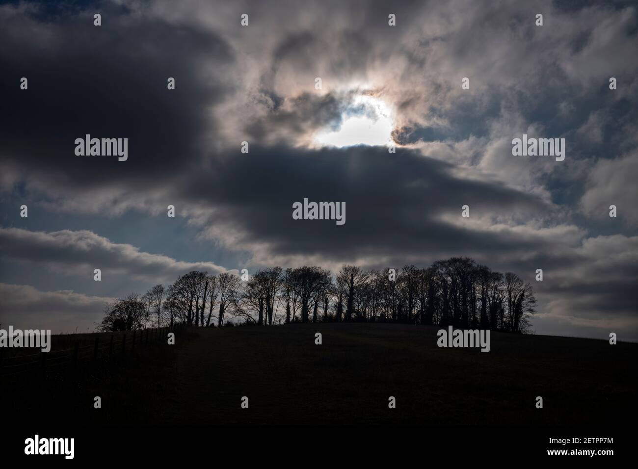
Gog Magog Hills Cambridge England March 2021 The Gog Magog Hills are a range of low chalk hills, extending for several miles to the southeast of Cambr
Image details
Contributor:
BRIAN HARRIS / Alamy Stock PhotoImage ID:
2ETPP7MFile size:
68.1 MB (1.3 MB Compressed download)Releases:
Model - no | Property - noDo I need a release?Dimensions:
5976 x 3984 px | 50.6 x 33.7 cm | 19.9 x 13.3 inches | 300dpiDate taken:
1 March 2021Location:
Cambridgeshire England UKMore information:
Gog Magog Hills Cambridge England March 2021 The Gog Magog Hills are a range of low chalk hills, extending for several miles to the southeast of Cambridge in England. The highest points are situated either side of the A1307 Babraham Road, and are marked on Ordnance Survey 1:25000 maps as "Telegraph Clump"[map 1] at 75 m (246 ft), Little Trees Hill[map 2] and Wandlebury Hill, [map 3] both at 74 m (243 ft). In English folklore and the Matter of Britain, Gogmagog was a giant, and according to Geoffrey of Monmouth's influential 12th-century Historia Regum Britanniae, one of the inhabitants of Albion discovered by Brutus of Troy and his men. He was the last of the giants that they killed, and was thrown from a cliff by Corineus. The book Where Troy Once Stood argues that the ancient city of Troy was in fact located in the Gog Magog Downs; however, this is not taken seriously by scholars.