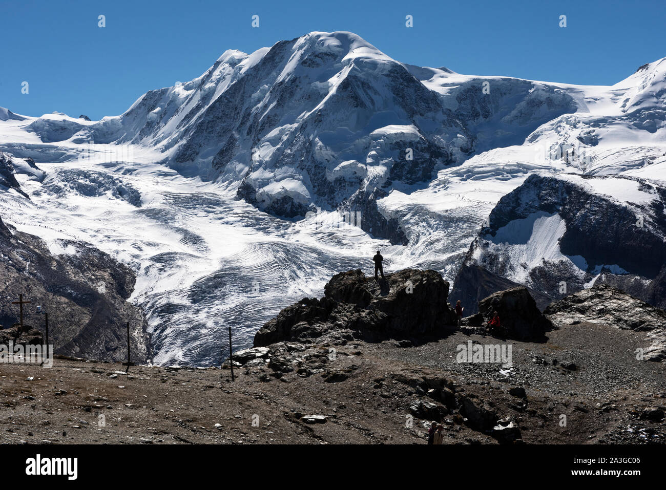
Gornergrat showing Monte Rossa massif, above Zermatt in Switzerland. September 2019 View from the train. The Gorner Glacier (German: Gornergletscher)

Image details
Contributor:
BRIAN HARRIS / Alamy Stock PhotoImage ID:
2A3GC06File size:
103.4 MB (7 MB Compressed download)Releases:
Model - no | Property - noDo I need a release?Dimensions:
7360 x 4912 px | 62.3 x 41.6 cm | 24.5 x 16.4 inches | 300dpiDate taken:
13 September 2019Location:
Gornergrat Valais SwitzerlandMore information:
Gornergrat showing Monte Rossa massif, above Zermatt in Switzerland. September 2019 View from the train. The Gorner Glacier (German: Gornergletscher) is a valley glacier found on the west side of the Monte Rosa massif close to Zermatt in the canton of Valais, Switzerland. It is about 12.4 km (7.7 mi) long (2014) and 1 to 1.5 km (0.62 to 0.93 mi) wide. The entire glacial area of the glacier related to Gorner Glacier is 57 km2 (22 sq mi) (1999), which makes it the second largest glacial system in the Alps after the Aletsch Glacier system; however it ranks only third in length behind the Aletsch and Fiescher Glacier, respectively. Numerous smaller glaciers connect with the Gorner Glacier. Its (former) tributaries are (clockwise on this map): Gornergletscher (after which the whole system is named, but the upper part is almost disconnected from the lower part nowadays), Monte Rosa Gletscher, Grenzgletscher (nowadays by far its main tributary), Zwillingsgletscher, Schwärzegletscher, Breithorngletscher, Triftjigletscher, and Unterer Theodulgletscher (although the last three ones are actually disconnected now). Like almost all other glaciers in the Alps, and most glaciers on the globe as well, due to global warming the Gorner Glacier is a retreating glacier—and in quite a dramatic way. Nowadays (2014), Gorner Glacier retreats about 30 metres (98 ft) every year, but with a record loss of 290 metres (950 ft) in 2008. Since its last major expansion (in the modern era, after the last glacial period) in 1859, it lost more than 2, 500 metres (8, 200 ft) in distance.