Ordnance Survey Sheet SP34SW Warwickshire Tysoe Winderton 1955 old vintage map
RFID:Image ID:2PC9Y9F
Image details
Contributor:
Antiqua Print Gallery / Alamy Stock PhotoImage ID:
2PC9Y9FFile size:
373.8 MB (12.5 MB Compressed download)Releases:
Model - no | Property - noDo I need a release?Dimensions:
9869 x 13238 px | 83.6 x 112.1 cm | 32.9 x 44.1 inches | 300dpiDate taken:
1955Location:
WarwickshireMore information:
This image could have imperfections as it’s either historical or reportage.
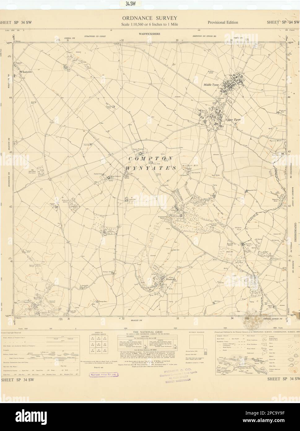
Ordnance Survey Sheet SP 34 SW [Part of Warwickshire - Tysoe, Winderton]. Artist/engraver/cartographer: Ordnance Survey. Provenance: Ordnance Survey [6 inches to one mile series]. Crown Copyright. Contains public sector information licensed under the Open Government Licence v3.0. Crown copyright Ordnance Survey. Type: Vintage Ordnance Survey sheet. Scale 6 inches to one mile.