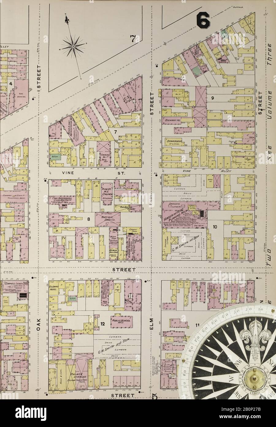
Image 16 of Sanborn Fire Insurance Map from Buffalo, Erie County, New York. 1889-1893 Vol. 1, 1889. 85 Sheet(s). Includes Map of Elevator District. Double-paged plates numbered 1-40. Bound, America, street map with a Nineteenth Century compass
RMID:Image ID:2B0P27B
Image details
Contributor:
Penta Springs Limited / Alamy Stock PhotoImage ID:
2B0P27BFile size:
83.7 MB (3.9 MB Compressed download)Releases:
Model - no | Property - noDo I need a release?Dimensions:
4500 x 6500 px | 38.1 x 55 cm | 15 x 21.7 inches | 300dpiDate taken:
23 June 2011Photographer:
ArtokoloroMore information:
This image could have imperfections as it’s either historical or reportage.