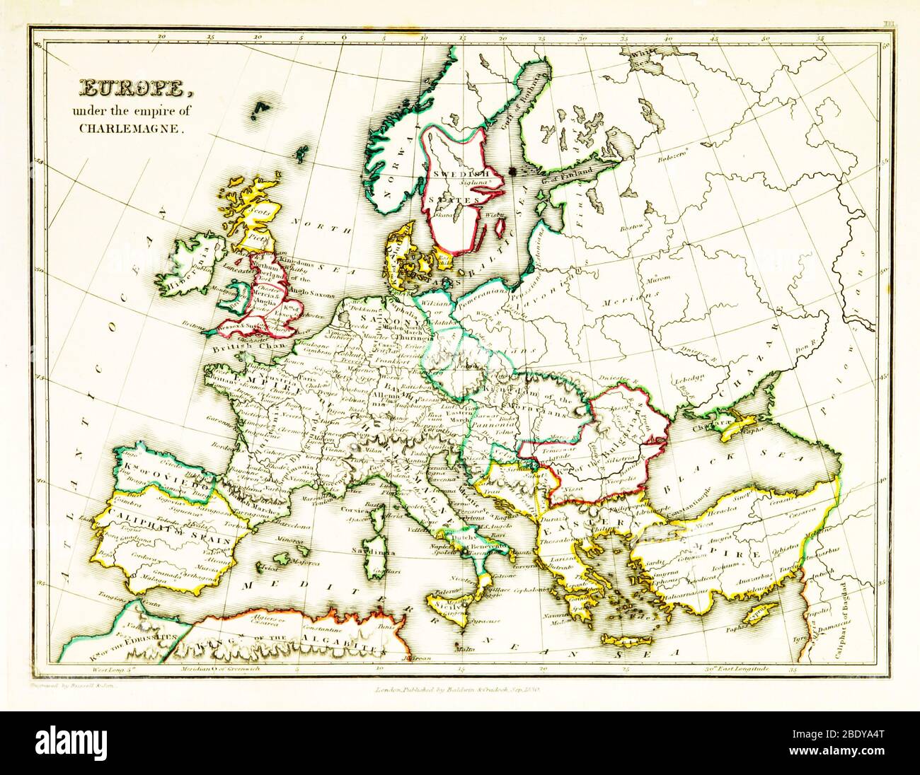
Carolingian Empire, Europe Map, 9th Century
RMID:Image ID:2BDYA4T
Image details
Contributor:
Science History Images / Alamy Stock PhotoImage ID:
2BDYA4TFile size:
27.8 MB (1.3 MB Compressed download)Releases:
Model - no | Property - noDo I need a release?Dimensions:
3543 x 2742 px | 30 x 23.2 cm | 11.8 x 9.1 inches | 300dpiDate taken:
18 December 2014Photographer:
Science History ImagesMore information:
This image could have imperfections as it’s either historical or reportage.