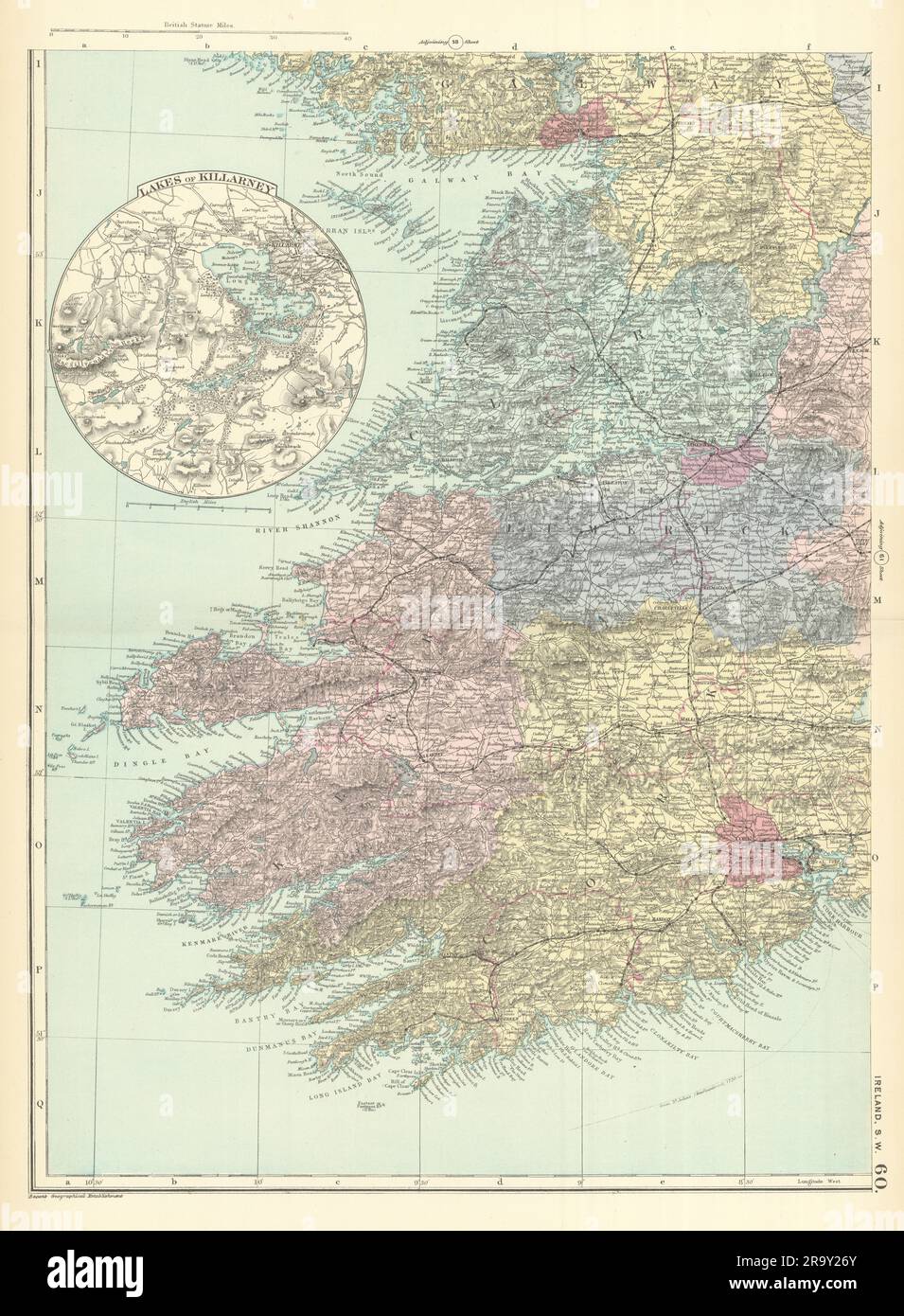
IRELAND (South West) Munster Cork Kerry Clare Limerick GW BACON 1891 old map
RFID:Image ID:2R9Y26Y
Image details
Contributor:
Antiqua Print Gallery / Alamy Stock PhotoImage ID:
2R9Y26YFile size:
252.9 MB (16.3 MB Compressed download)Releases:
Model - no | Property - noDo I need a release?Dimensions:
8060 x 10967 px | 68.2 x 92.9 cm | 26.9 x 36.6 inches | 300dpiDate taken:
1891Location:
IrelandMore information:
This image could have imperfections as it’s either historical or reportage.
Ireland (South West sheet). Artist/engraver/cartographer: George W Bacon. Provenance: "New Large Scale of the British Isles from the Ordnance Survey", George Bacon, 127 Strand London [Large Scale Ordnance Atlas - British Isles]. Contains public sector information licensed under the Open Government Licence v3.0. Crown copyright Ordnance Survey. Type: Colour Antique Lithograph Map.