Maldive Islands #2 Centre Walker/EAST INDIA COMPANY sea chart 1839 (1950) map
Image details
Contributor:
Antiqua Print Gallery / Alamy Stock PhotoImage ID:
2GKEK36File size:
276.9 MB (8.4 MB Compressed download)Releases:
Model - no | Property - noDo I need a release?Dimensions:
7619 x 12704 px | 64.5 x 107.6 cm | 25.4 x 42.3 inches | 300dpiDate taken:
1950Location:
MaldivesMore information:
This image could have imperfections as it’s either historical or reportage.
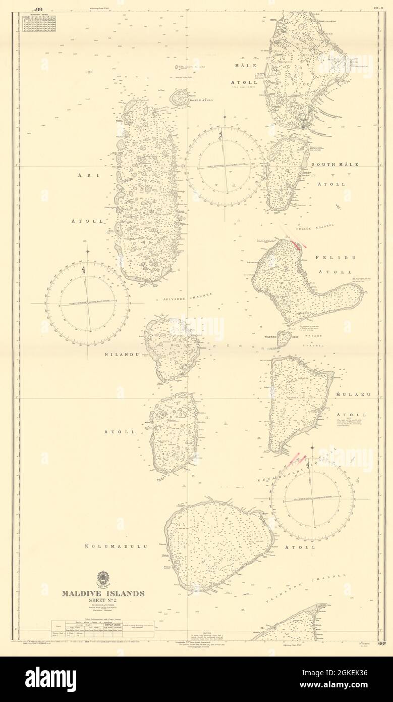
Maldive Islands - Sheet No. 2. Artist/engraver/cartographer: Trigonometrical Survey by Commander R. Moresby, assisted by Lieut. F.T. Powell, Indian Navy with additions and corrections by Professor A. Agassiz, Mr. Stanley Gardiner, and Mr. L.A. Maloney, 1902. Addu Atoll and Horsburgh Atoll surveyed by Commr. E.H. Daughlish, R.I.M., R.I.M.S. "Investigator, " 1923-1924. Ihavandiffulu Atoll surveyed by Commr. W.V. Rice, D.S.O., D.S.C., R.N., H.M. Surveying Ship "Ormonde, " 1927-1928. and by Commr. R.M. Southern, R.N., H.M. Surveying Ship "Endeavour, " 1933-1934. Provenance: [Published according to Act of Parliament by John Walker Geographer to the Honble. East India Company. Crown Copyright reserved]. Type: Large British nautical sea chart. Sea charts such as this were working navigational aids which were commonly updated and corrected during their working lives by hand annotation and/or printed overlays. They may also feature manuscript navigational notes, comments or other markings.