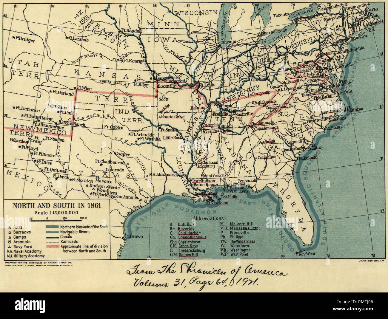
Map during American Civil War, North and South in 1861, The Chronicles of America, 1921,
RMID:Image ID:RMTJ06
Image details
Contributor:
Glasshouse Images / Alamy Stock PhotoImage ID:
RMTJ06File size:
47.1 MB (2.7 MB Compressed download)Releases:
Model - no | Property - noDo I need a release?Dimensions:
4672 x 3524 px | 39.6 x 29.8 cm | 15.6 x 11.7 inches | 300dpiDate taken:
1 June 1921Location:
USAPhotographer:
Circa ImagesMore information:
This image could have imperfections as it’s either historical or reportage.