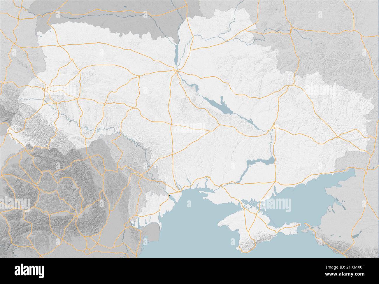
Map of Eastern Europe, Ukraine and neighboring states, satellite view, sides and factions. Allied states. Main roads and urban centers. War map
RFID:Image ID:2HXMX0F
Image details
Contributor:
Naeblys / Alamy Stock PhotoImage ID:
2HXMX0FFile size:
20.9 MB (1.3 MB Compressed download)Releases:
Model - no | Property - noDo I need a release?Dimensions:
3275 x 2229 px | 27.7 x 18.9 cm | 10.9 x 7.4 inches | 300dpiDate taken:
13 March 2022