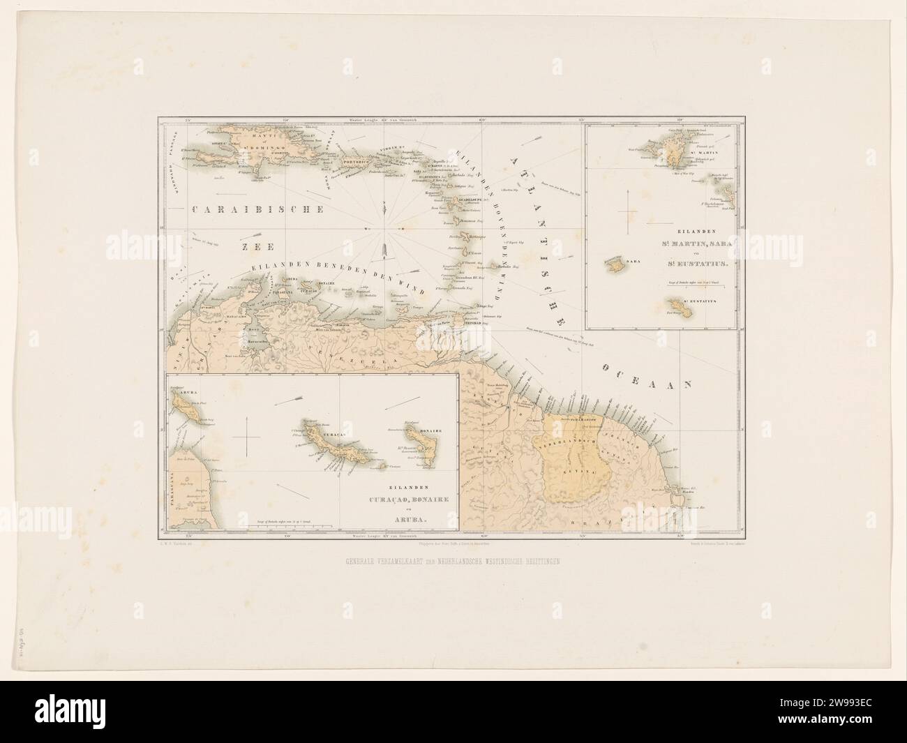
Map of the Netherlands Antilles, Gerard Voorduin, 1860 - 1862 print Map the Northern part of South America with the Dutch territories. Two bets with maps of the islands of Curaçao, Bonaire and Aruba and from the islands of Sint-Maarten, Saba and Sint-Eustatius. Part of the sheet metal 'Gezigten from Neerland's West-Indien'. printer: Utrechtpublisher: Amsterdam paper maps of separate countries or regions. colonial system Suriname. Aruba. Curacao. Bonaire. St Martin. Sint-Eustatius. Saba
RMID:Image ID:2W993EC
Image details
Contributor:
piemags/rmn / Alamy Stock PhotoImage ID:
2W993ECFile size:
74.5 MB (2 MB Compressed download)Releases:
Model - no | Property - noDo I need a release?Dimensions:
5890 x 4420 px | 49.9 x 37.4 cm | 19.6 x 14.7 inches | 300dpiMore information:
This image is a public domain image, which means either that copyright has expired in the image or the copyright holder has waived their copyright. Alamy charges you a fee for access to the high resolution copy of the image.
This image could have imperfections as it’s either historical or reportage.