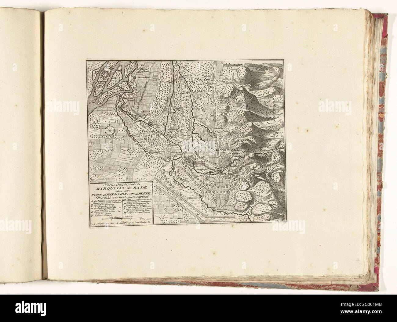
Map of the West of Markizaat Baden, ca. 1701-1713; Partie Occidentale du Marquisat de Bade, Située Entre Fort Louis du Rhin, Stolhoffe, Oberbihl et Les Montagnes de Swartewalt; Les Principales Forterses & Villes Fortes, D'Espagne, De France, D'Italie, The Savoia, D'Allemagne & des Païs-Bas (...) / Sittingurial images of the main strong cities and fortresses in Spanjen, Vrankryk, Italien, Savoy, Duytsland and Nederlanden (...). Map of the West of the Markizaat Baden on which are indicated the lines of the French and of the Allies and different fights. Part of the bundled series of 49 plates of
Image details
Contributor:
BTEU/RKMLGE / Alamy Stock PhotoImage ID:
2G001MBFile size:
16.8 MB (876.9 KB Compressed download)Releases:
Model - no | Property - noDo I need a release?Dimensions:
2814 x 2092 px | 23.8 x 17.7 cm | 9.4 x 7 inches | 300dpiDate taken:
30 May 2021More information:
This image is a public domain image, which means either that copyright has expired in the image or the copyright holder has waived their copyright. Alamy charges you a fee for access to the high resolution copy of the image.
This image could have imperfections as it’s either historical or reportage.
Map of the West of Markizaat Baden, ca. 1701-1713; Partie Occidentale du Marquisat de Bade, Située Entre Fort Louis du Rhin, Stolhoffe, Oberbihl et Les Montagnes de Swartewalt; Les Principales Forterses & Villes Fortes, D'Espagne, De France, D'Italie, The Savoia, D'Allemagne & des Païs-Bas (...) / Sittingurial images of the main strong cities and fortresses in Spanjen, Vrankryk, Italien, Savoy, Duytsland and Nederlanden (...). Map of the West of the Markizaat Baden on which are indicated the lines of the French and of the Allies and different fights. Part of the bundled series of 49 plates of renowned strong cities and fortresses in the Spanish Succession War, ca. 1701-1713. With the titles in Dutch and French.