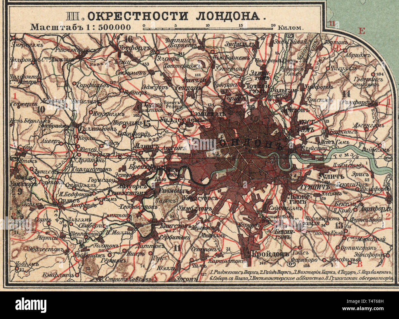
Map of London neighborhoods, Great Britain New table atlas A.F. Marcks St. Petersburg, 1910
RMID:Image ID:T4T68H
Image details
Contributor:
archidoc / Alamy Stock PhotoImage ID:
T4T68HFile size:
97.9 MB (6.3 MB Compressed download)Releases:
Model - no | Property - noDo I need a release?Dimensions:
6847 x 5000 px | 58 x 42.3 cm | 22.8 x 16.7 inches | 300dpiDate taken:
16 April 2019More information:
This image could have imperfections as it’s either historical or reportage.