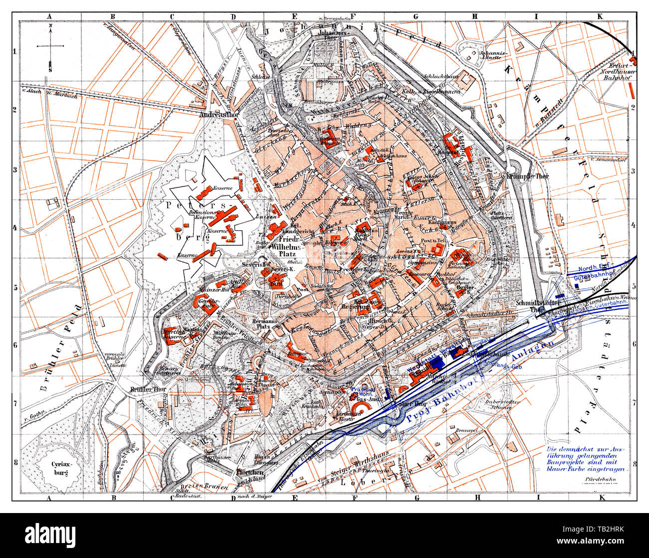
Map of Erfurt, Germany, Europe, end of the 19th century, Landkarte von Erfurt, Deutschland, Europa, Ende des 19. Jahrhundert,
RMID:Image ID:TB2HRK
Image details
Contributor:
history_docu_photo / Alamy Stock PhotoImage ID:
TB2HRKFile size:
65.5 MB (6.5 MB Compressed download)Releases:
Model - no | Property - noDo I need a release?Dimensions:
5381 x 4252 px | 45.6 x 36 cm | 17.9 x 14.2 inches | 300dpiDate taken:
15 October 2011More information:
This image could have imperfections as it’s either historical or reportage.