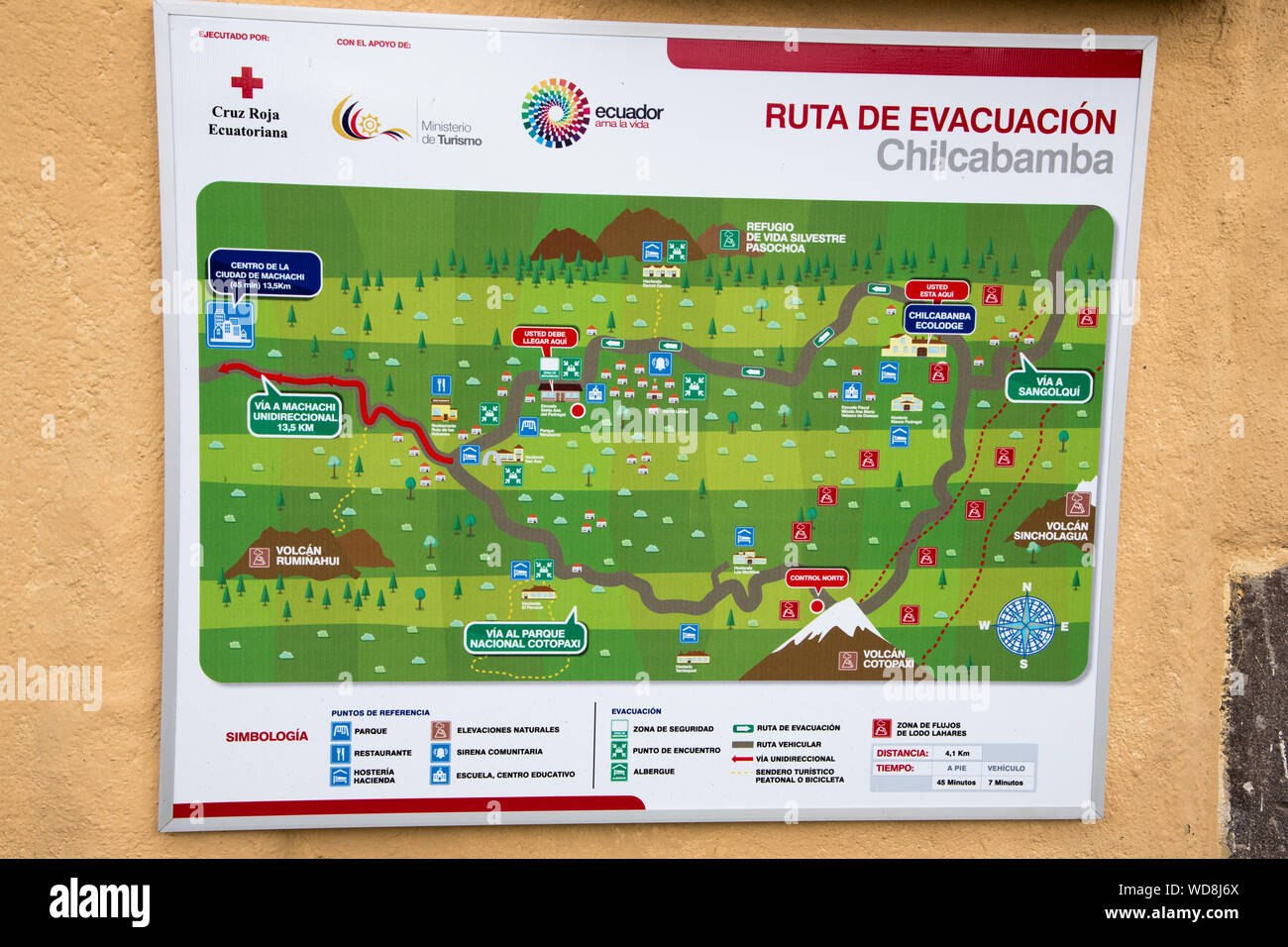
evacuation map at Chilcabamba Lodge in the Cotopaxi National Park at 3500 meter in the Andes of Ecuador. Evakuationsplan für die Chilcabamba Lodge au
RMID:Image ID:WD8J6X
Image details
Contributor:
Roland Knauer / Alamy Stock PhotoImage ID:
WD8J6XFile size:
61.3 MB (2.8 MB Compressed download)Releases:
Model - no | Property - noDo I need a release?Dimensions:
5669 x 3780 px | 48 x 32 cm | 18.9 x 12.6 inches | 300dpiDate taken:
15 September 2016Location:
Chilcabamba Lodge, Cotopaxi National Park, Cantón Mejía, Pichincha Province, EcuadorMore information:
evacuation map at Chilcabamba Lodge in the Cotopaxi National Park at 3500 meter in the Andes of Ecuador. Evakuationsplan für die Chilcabamba Lodge auf einer Höhe von rund 3500 Metern Höhe im Cotopaxi-Nationalpark in Ecuador.