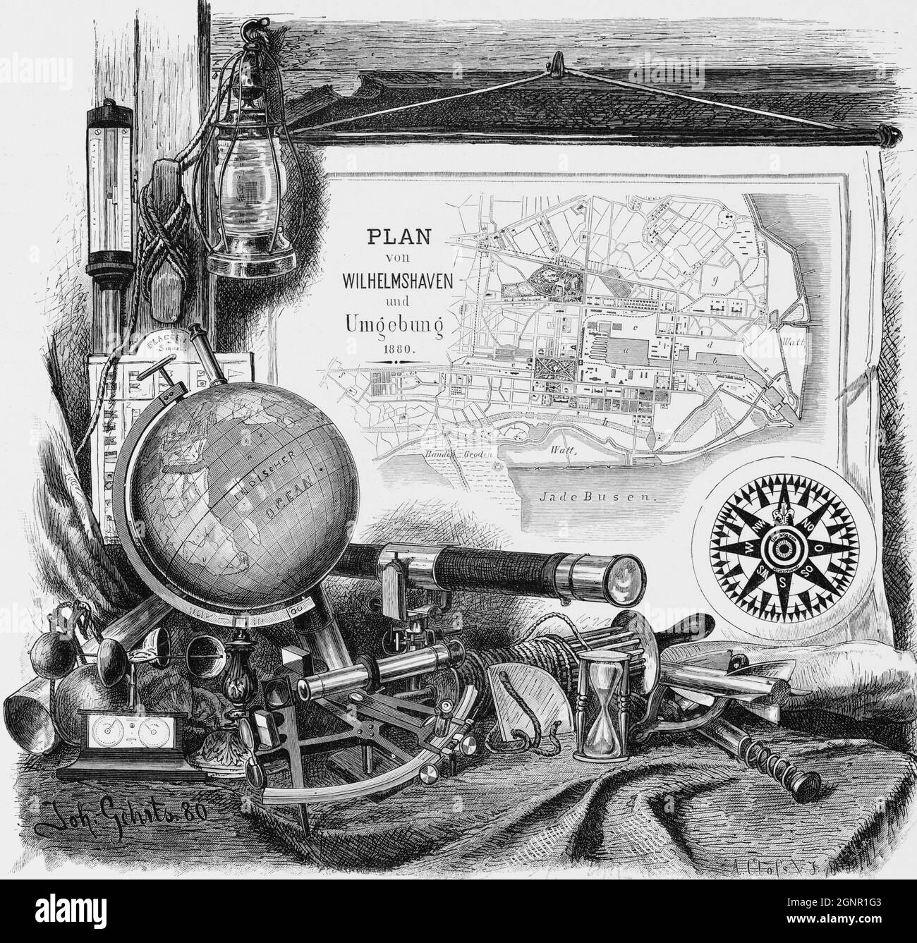
City map of Bremerhaven and its surroundings with navigational instruments and a globe, historic illustration 1880,
RMID:Image ID:2GNR1G3
Image details
Contributor:
Wolfgang Diederich / Alamy Stock PhotoImage ID:
2GNR1G3File size:
60.6 MB (4.5 MB Compressed download)Releases:
Model - no | Property - noDo I need a release?Dimensions:
4699 x 4508 px | 39.8 x 38.2 cm | 15.7 x 15 inches | 300dpiDate taken:
16 September 2021Location:
Wilhelmshaven, Lower Saxony, North GermanyMore information:
Illustration taken from: küstenfahrten an der Nord- und Ostsee. Geschildert von Edmund Hoefer, in Verbindung mit M. Lindemann, L. Passarge, O. Rüdiger, I. Wedde. Illustriert von Gustav Schönleber. Stuttgart, Druck und Verlag von Gebrüder Kröner, 1880, This image could have imperfections as it’s either historical or reportage