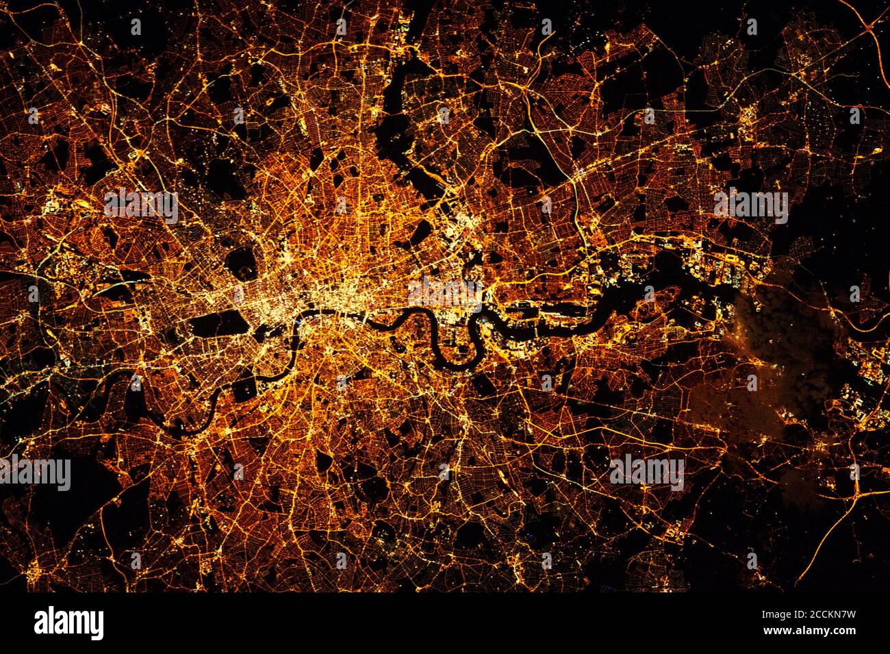
LONDON city lights map at night. Satellite view. Aerial view of London. Global communications and networking. Cyberspace in big city. Satellite view
RFID:Image ID:2CCKN7W
Image details
Contributor:
Zenobillis / Alamy Stock PhotoImage ID:
2CCKN7WFile size:
17.2 MB (1.4 MB Compressed download)Releases:
Model - no | Property - noDo I need a release?Dimensions:
3005 x 2000 px | 25.4 x 16.9 cm | 10 x 6.7 inches | 300dpiDate taken:
27 September 2015Location:
London, UK